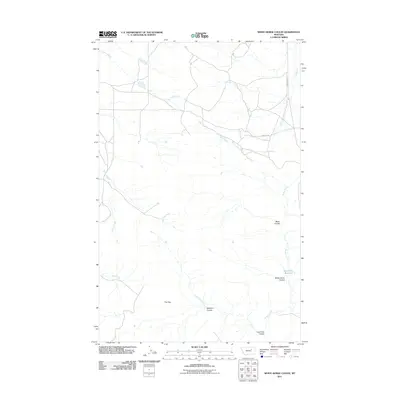
2011 Map of White Horse Coulee
USGS Topo · Published 2011About this map
Beartracks Reservoir and the drainage systems of Valley County define this stretch of the Montana landscape, where the prairie is deeply etched by a network of coulees and creeks. The terrain is characterized by geological depressions and washouts, most notably a feature known as The Sag. This 2011 survey documents a sparsely populated region primarily navigated via unpaved routes like Larb Creek Rd and Content Rd, which follow the natural contours of the land rather than a strict grid.
Find a feature on this map
14 named features on this map. Tap any name to fly to it.
Don’t see what you’re looking for? This feature index may not catch every label — zoom into the map to look around manually.
Map Details
Editions of this 2011 White Horse Coulee Map
This is the sole edition of this map. No revisions or reprints were ever made.
Other maps of this area

1954 · Jordan
USGS Topo · 1:250,000

1954 · Glasgow
USGS Topo · 1:250,000

1956 · Jordan
USGS Topo · 1:250,000

1957 · Glasgow
USGS Topo · 1:250,000

1958 · Glasgow
USGS Topo · 1:250,000

1958 · Jordan
USGS Topo · 1:250,000

1964 · Jordan
USGS Topo · 1:250,000

1965 · Coal Mine Hill
USGS Topo · 1:24,000

1965 · Buckley Lake
USGS Topo · 1:24,000

1973 · Niles Coulee
USGS Topo · 1:24,000