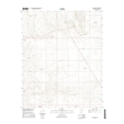
2017 Map of White Lakes
USGS Topo · Published 2017About this map
White Lakes and the seasonally active channels of the high desert define this portion of Santa Fe County. The landscape is marked by significant drainage features such as Arroyo Jara, which cuts through the northern sections, and the broad depressions of Big Draw, Kinsell Draw, and Armijo Draw. This topography illustrates a traditional Southwestern rangeland, where water management is centralized at sites like Spring Tank. The transportation network is sparse but functional, centered on White Lakes Rd and the aptly named Rough Rd, reflecting the remote and utilitarian character of the region. The map provides a detailed view of the Public Land Survey System grid, including townships t12n r11e and t11n r10e, essential for researchers tracing land ownership and property boundaries in this open territory.
Find a feature on this map
17 named features on this map. Tap any name to fly to it.
Don’t see what you’re looking for? This feature index may not catch every label — zoom into the map to look around manually.
Map Details
Editions of this 2017 White Lakes Map
This is the sole edition of this map. No revisions or reprints were ever made.
Other maps of this area

1894 · Lamy
USGS Topo · 1:125,000

1954 · Santa Fe
USGS Topo · 1:250,000

1958 · Santa Fe
USGS Topo · 1:250,000

1960 · Stanley
USGS Topo · 1:62,500
1966 · Mesa El Toro
USGS Topo · 1:24,000
1966 · Clines Corners
USGS Topo · 1:24,000
1966 · Ojo Hedionda
USGS Topo · 1:24,000
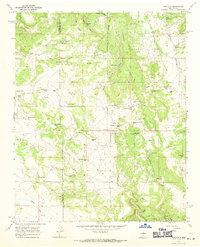
1966 · Rencona
USGS Topo · 1:24,000
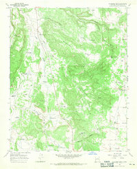
1966 · Wildhorse Mesa
USGS Topo · 1:24,000
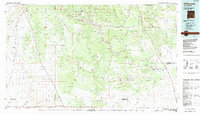
1983 · Villanueva
USGS Topo · 1:100,000