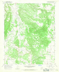
1966 Map of Wildhorse Mesa
USGS Topo · Published 1971About this map
Wildhorse Mesa dominates the high ground of Santa Fe County in this mid-1960s survey, illustrating a landscape defined by water management and ranching. The presence of numerous named water sources like Estracada House Well, Anamosia Well, and Chico Pumpjack Well reveals the vital infrastructure required to sustain life and livestock in this arid New Mexico terrain. These wells and tanks are often associated with specific family names and ranching outposts, such as the Dyer Ranch and the Young Place near Young Lake.
Find a feature on this map
51 named features on this map. Tap any name to fly to it.
Don’t see what you’re looking for? This feature index may not catch every label — zoom into the map to look around manually.
Map Details
Editions of this 1966 Wildhorse Mesa Map
This is the sole edition of this map. No revisions or reprints were ever made.
Other maps of this area

1894 · Lamy
USGS Topo · 1:125,000

1954 · Santa Fe
USGS Topo · 1:250,000

1958 · Santa Fe
USGS Topo · 1:250,000

1960 · Stanley
USGS Topo · 1:62,500
1966 · Mesa El Toro
USGS Topo · 1:24,000
1966 · Ojo Hedionda
USGS Topo · 1:24,000
1966 · Galisteo
USGS Topo · 1:24,000
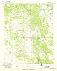
1966 · Rencona
USGS Topo · 1:24,000
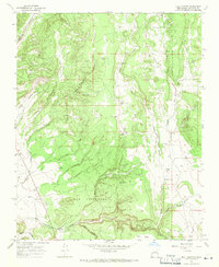
1966 · Bull Canyon
USGS Topo · 1:24,000
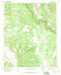
1966 · Rowe
USGS Topo · 1:24,000