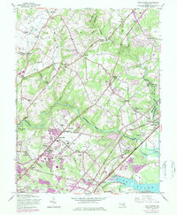
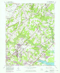
1951 Map of White Marsh
USGS Topo · Published 1984About this map
The Gunpowder Falls river valley anchors this map, carving a winding path through the borderlands of Baltimore and Harford counties. During the mid-20th century, this region transitioned from a collection of dispersed mill towns and rural stations into a more integrated suburban landscape. The transportation network is defined by the Baltimore and Ohio Railroad and the Pennsylvania Railroad, which supported early 20th-century settlements like Long Green Station, White Marsh Station, and Bradshaw Station.
Find a feature on this map
62 named features on this map. Tap any name to fly to it.
Don’t see what you’re looking for? This feature index may not catch every label — zoom into the map to look around manually.
Map Details
Editions of this 1951 White Marsh Map
6 editions found

Other maps of this area

1893 · Gunpowder
USGS Topo · 1:62,500

1894 · Baltimore
USGS Topo · 1:62,500

1898 · Tolchester
USGS Topo · 1:125,000

1899 · Baltimore
USGS Topo · 1:62,500

1900 · Parkton
USGS Topo · 1:62,500

1901 · Belair
USGS Topo · 1:62,500

1901 · Gunpowder
USGS Topo · 1:62,500

1902 · Parkton
USGS Topo · 1:62,500

1903 · Tolchester
USGS Topo · 1:125,000

1904 · Baltimore
USGS Topo · 1:62,500