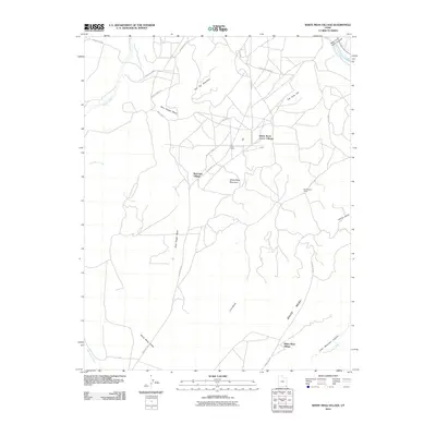
2010 Map of White Mesa Village
USGS Topo · Published 2010About this map
White Mesa dominates the southern portion of this landscape, a high plateau environment defined by deep washes and scattered settlements. In the early 21st century, residential clusters like White Mesa Village and Red Lake Village established the human footprint in an area primarily shaped by complex topography and seasonal hydrology. The transport network relies on regional routes such as Indian Rte-35 and Phillips Camp Rd, which navigate the terrain between significant landmarks like Flat Top Mountain and Tow Gray Hill. To the north, the San Juan River and the rugged descent into Allen Canyon mark the transition toward more dramatic canyonlands. Notable points of interest for local geography include the specialized housing at Aztec Camp and Continental Camp, which sit alongside prominent natural features like White Mesa Mountain and the winding Blue Hogan Wash.
Find a feature on this map
29 named features on this map. Tap any name to fly to it.
Don’t see what you’re looking for? This feature index may not catch every label — zoom into the map to look around manually.
Map Details
Editions of this 2010 White Mesa Village Map
This is the sole edition of this map. No revisions or reprints were ever made.
Other maps of this area

1886 · Abajo
USGS Topo · 1:250,000

1892 · Abajo
USGS Topo · 1:250,000

1893 · Abajo
USGS Topo · 1:250,000

1956 · Cortez
USGS Topo · 1:250,000

1958 · Cortez
USGS Topo · 1:250,000

1958 · Aneth 1 SW
USGS Topo · 1:24,000

1958 · Cajon Mesa
USGS Topo · 1:62,500

1959 · Cortez
USGS Topo · 1:250,000

1962 · Cortez
USGS Topo · 1:250,000

1962 · Montezuma Creek
USGS Topo · 1:62,500
Featured Places
- Shiprock Agency
- Red Lake Village, Shiprock Agency
- White Mesa Village, Shiprock Agency
- White Rock Curve Village, Shiprock Agency
- San Juan County, UT