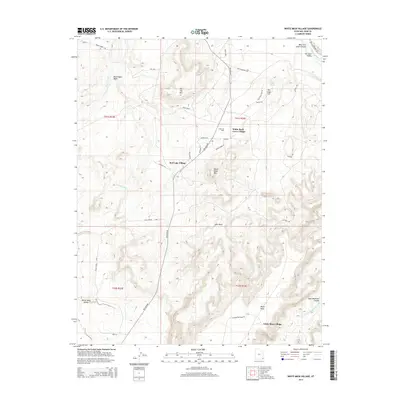
2014 Map of White Mesa Village
USGS Topo · Published 2014About this map
White Mesa Village and the surrounding desert plateau are defined by a complex network of seasonal drainages and local roads. This area, north of the San Juan River in San Juan County, highlights a modern settlement pattern where small residential clusters like Red Lake Village and White Rock Curve Village are interspersed with industrial activity. The Aneth Oil Field is a primary landmark on the northern mesa, situated near Sandhill Rd. The terrain is characterized by high-desert features such as Flat Top Mtn and White Mesa Mtn, with the landscape heavily carved by canyons and washes including Lone Mountain Canyon and Lone Wash. These geographical labels provide a detailed look at the hydrology and land use in this part of the Shiprock Agency region, including the vital Tow Gray Spring and various Bureau of Indian Affairs routes.
Find a feature on this map
42 named features on this map. Tap any name to fly to it.
Don’t see what you’re looking for? This feature index may not catch every label — zoom into the map to look around manually.
Map Details
Editions of this 2014 White Mesa Village Map
This is the sole edition of this map. No revisions or reprints were ever made.
Other maps of this area

1886 · Abajo
USGS Topo · 1:250,000

1892 · Abajo
USGS Topo · 1:250,000

1893 · Abajo
USGS Topo · 1:250,000

1956 · Cortez
USGS Topo · 1:250,000

1958 · Cortez
USGS Topo · 1:250,000

1958 · Aneth 1 SW
USGS Topo · 1:24,000

1958 · Cajon Mesa
USGS Topo · 1:62,500

1959 · Cortez
USGS Topo · 1:250,000

1962 · Cortez
USGS Topo · 1:250,000

1962 · Montezuma Creek
USGS Topo · 1:62,500
Featured Places
- Shiprock Agency
- Red Lake Village, Shiprock Agency
- White Mesa Village, Shiprock Agency
- White Rock Curve Village, Shiprock Agency
- San Juan County, UT