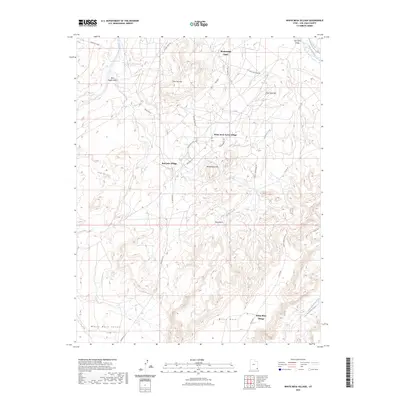
2023 Map of White Mesa Village
USGS Topo · Published 2023About this map
Montezuma Creek sits along the northern banks of the San Juan River in a landscape defined by high mesas and seasonal drainages. This high-desert terrain is marked by several distinct residential areas, including White Rock Curve Village and Red Lake Village, which are connected by a network of local roads such as Red Mesa Rd and Indian Rte 35. The topography rises dramatically toward the south at White Mesa, where the White Mesa Village overlooks the White Mesa Valley.
Find a feature on this map
31 named features on this map. Tap any name to fly to it.
Don’t see what you’re looking for? This feature index may not catch every label — zoom into the map to look around manually.
Map Details
Editions of this 2023 White Mesa Village Map
This is the sole edition of this map. No revisions or reprints were ever made.
Other maps of this area

1886 · Abajo
USGS Topo · 1:250,000

1892 · Abajo
USGS Topo · 1:250,000

1893 · Abajo
USGS Topo · 1:250,000

1956 · Cortez
USGS Topo · 1:250,000

1958 · Cortez
USGS Topo · 1:250,000

1958 · Aneth 1 SW
USGS Topo · 1:24,000

1958 · Cajon Mesa
USGS Topo · 1:62,500

1959 · Cortez
USGS Topo · 1:250,000

1962 · Cortez
USGS Topo · 1:250,000

1962 · Montezuma Creek
USGS Topo · 1:62,500
Featured Places
- Shiprock Agency
- Red Lake Village, Shiprock Agency
- White Rock Curve Village, Shiprock Agency
- White Mesa Village, Shiprock Agency
- San Juan County, UT