
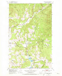
1952 Map of White Mud Lake
USGS Topo · Published 1954About this map
Old Dominion Mine and several scattered prospects define the rugged industrial character of this corner of the Colville National Forest in the early 1950s. The landscape is a complex network of ridges and canyons, where extraction and early settlement sites are linked by dirt roads like Aladdin Road and Tiger Road. While the Pinkney City (Site) and Three Forks (Site) represent earlier eras of habitation, the mid-century map documents a community in transition with the Graham Sch (Aban'd) and White Lake Sch (Aban'd) already marked as abandoned.
Find a feature on this map
51 named features on this map. Tap any name to fly to it.
Don’t see what you’re looking for? This feature index may not catch every label — zoom into the map to look around manually.
Map Details
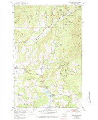
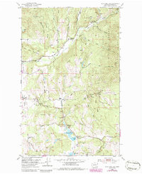
Editions of this 1952 White Mud Lake Map
4 editions found
Other maps of this area

1927 · Chewelah
USGS Topo · 1:125,000

1929 · Colville
USGS Topo · 1:125,000

1930 · Chewelah
USGS Topo · 1:125,000

1933 · Colville
USGS Topo · 1:125,000

1952 · Gillette Mtn
USGS Topo · 1:24,000

1952 · Echo Valley
USGS Topo · 1:24,000

1952 · Aladdin
USGS Topo · 1:24,000

1952 · Colville
USGS Topo · 1:24,000

1958 · Sandpoint
USGS Topo · 1:250,000

1963 · Sandpoint
USGS Topo · 1:250,000