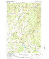
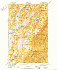
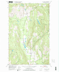
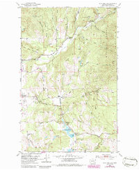
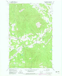
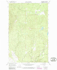
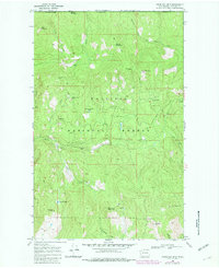
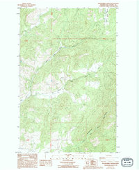
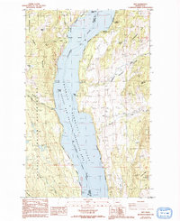
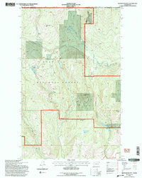
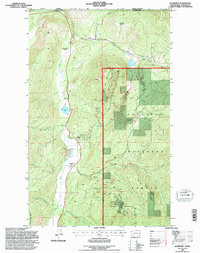
1952 Map of White Mud Lakes
USGS Topo · Published 1983About this map
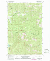
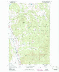
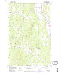
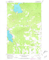
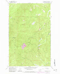
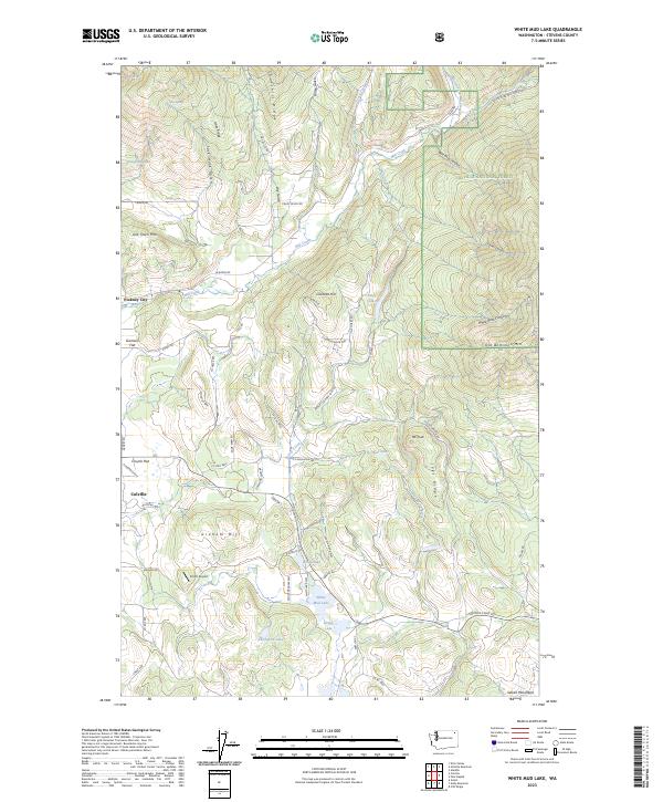
Pinkney City and Three Forks represent the early territorial history of Stevens County on this mid-century survey. Located north of the current county seat, this landscape is defined by the drainage of Mill Creek and the rise of Old Town Mountain and Churchill Ridge. The map documents a transition in rural community life, noting both active gathering places like White Lake Grange and the Colville Gun Club, alongside the fading footprints of the Graham Sch and White Lake Sch.
Find a feature on this map
54 named features on this map. Tap any name to fly to it.
Don’t see what you’re looking for? This feature index may not catch every label — zoom into the map to look around manually.
Map Details
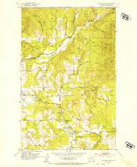
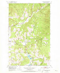
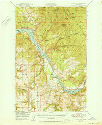
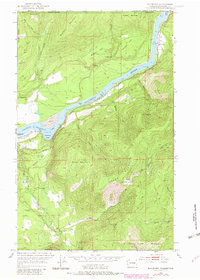
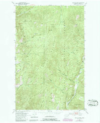
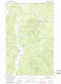
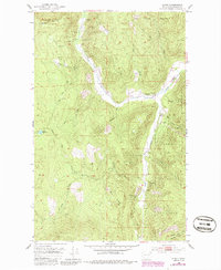
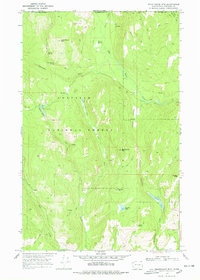
Editions of this 1952 White Mud Lakes Map
4 editions found
Historical Maps of Colville Through Time
117 maps found

1944 Wellpinit
Stevens County, WA
1948 Hunters
Stevens County, WA

1948 Turtle Lake
Stevens County, WA
1950 Hunters
Stevens County, WA
1950 Turtle Lake
Stevens County, WA

1952 Aladdin
Stevens County, WA
1952 Boundary
Stevens County, WA
1952 Deep Lake
Stevens County, WA
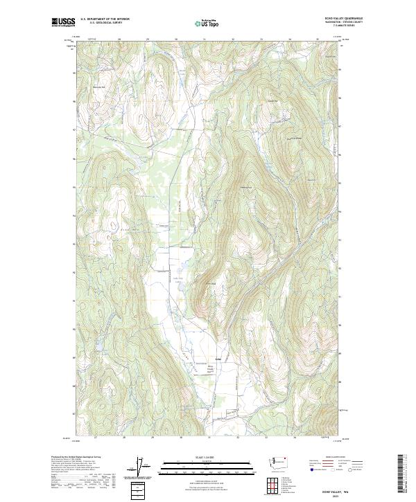
1952 Echo Valley
Stevens County, WA
1952 Gillette Mtn
Stevens County, WA
1952 Leadpoint
Stevens County, WA
1952 Spirit
Stevens County, WA
1952 White Mud Lake
Stevens County, WA
1953 Wellpinit
Stevens County, WA
1964 Calispell Peak
Stevens County, WA

1964 Chewelah Mtn
Stevens County, WA
1964 Cliff Ridge
Stevens County, WA
1964 Goddards Peak
Stevens County, WA
1965 Addy Mountain
Stevens County, WA
1965 Arden
Stevens County, WA
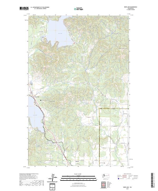
1965 Deer Lake
Stevens County, WA
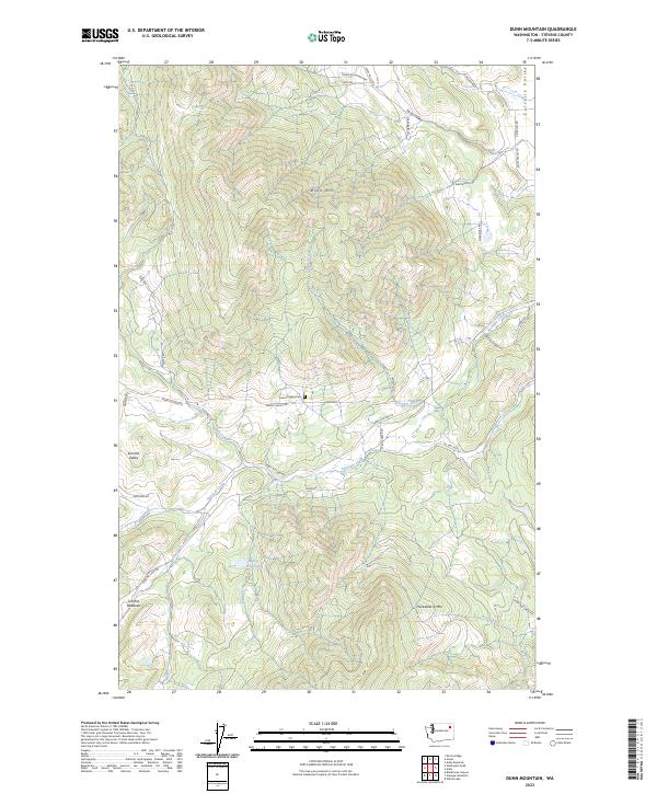
1965 Dunn Mountain
Stevens County, WA
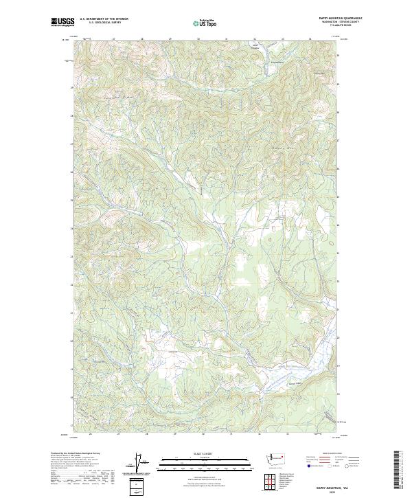
1965 Empey Mountain
Stevens County, WA
1965 Forest Center
Stevens County, WA
1965 Nelson Peak
Stevens County, WA
1965 Stensgar Mtn.
Stevens County, WA
1965 Waitts Lake
Stevens County, WA
1966 Aladdin
Stevens County, WA
1966 Lake Gillette
Stevens County, WA
1967 Park Rapids
Stevens County, WA
1969 Belshazzar Mtn
Stevens County, WA
1969 Bossburg
Stevens County, WA
1969 China Bend
Stevens County, WA
1969 Churchill Mtn
Stevens County, WA
1969 Onion Creek
Stevens County, WA

1973 Ford
Stevens County, WA

1973 Long Lake
Stevens County, WA

1973 Tumtum
Stevens County, WA

1973 Wellpinit
Stevens County, WA
1978 Deer Lake
Stevens County, WA

1980 Calispell Peak
Stevens County, WA
1985 Adams Mtn
Stevens County, WA

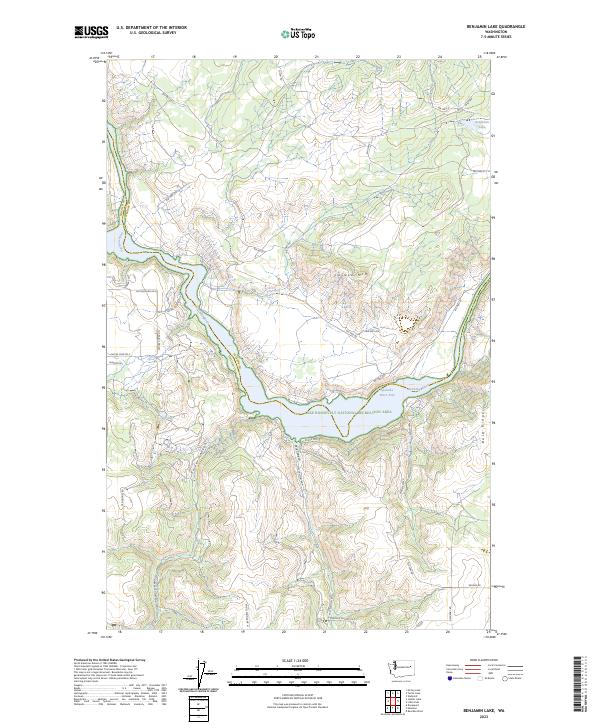
1985 Benjamin Lake
Stevens County, WA
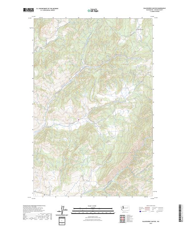
1985 Blackhorse Canyon
Stevens County, WA
1985 Cedonia
Stevens County, WA

1985 Fort Spokane
Stevens County, WA
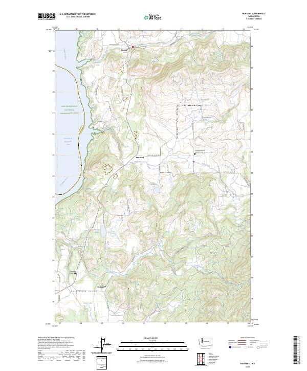
1985 Hunters
Stevens County, WA
1985 Kentry Ridge
Stevens County, WA

1985 Mc Coy Lake
Stevens County, WA
1985 Rice
Stevens County, WA
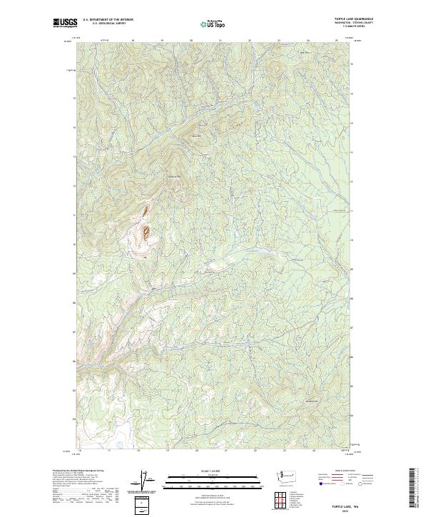
1985 Turtle Lake
Stevens County, WA
1985 Wellington Peak
Stevens County, WA
1992 Addy Mountain
Stevens County, WA

1992 Aladdin
Stevens County, WA
1992 Belshazzar Mtn
Stevens County, WA
1992 Boundary
Stevens County, WA

1992 Calispell Peak
Stevens County, WA
1992 Churchill Mtn
Stevens County, WA
1992 Cliff Ridge
Stevens County, WA

1992 Deep Lake
Stevens County, WA

1992 Gillette Mtn
Stevens County, WA

1992 Goddards Peak
Stevens County, WA

1992 Lake Gillette
Stevens County, WA
1992 Leadpoint
Stevens County, WA

1992 Nelson Peak
Stevens County, WA
1992 Park Rapids
Stevens County, WA

1992 Rice
Stevens County, WA
1992 Spirit
Stevens County, WA

1992 White Mud Lake
Stevens County, WA

2023 Adams Mountain
Stevens County, WA
2023 Addy Mountain
Stevens County, WA
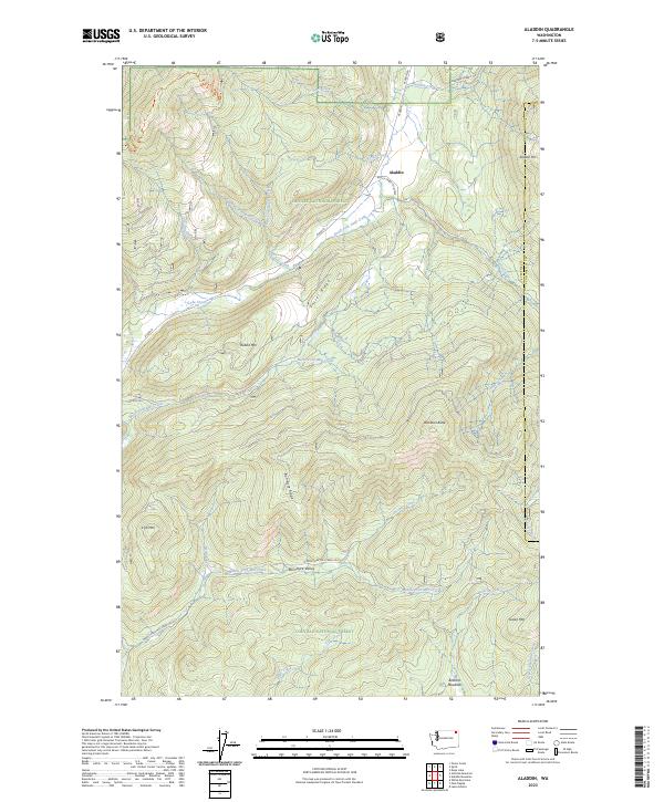
2023 Aladdin
Stevens County, WA
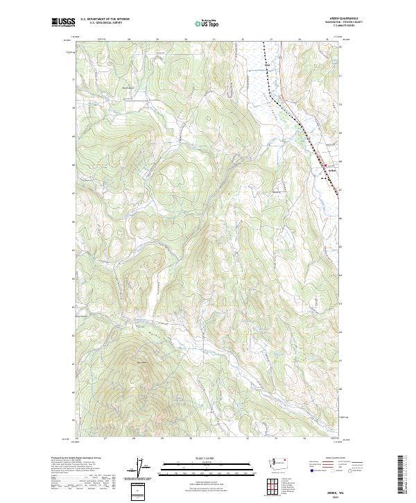
2023 Arden
Stevens County, WA
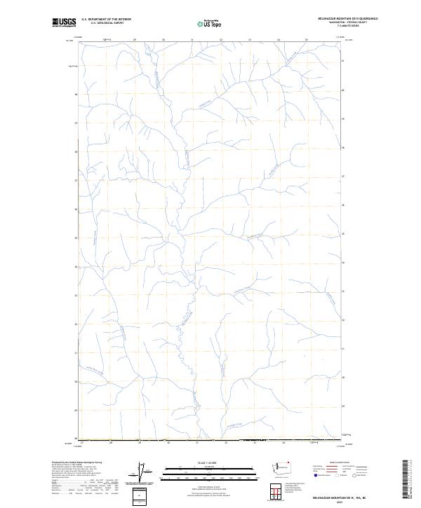
2023 Belshazzar Mountain OE N
Stevens County, WA
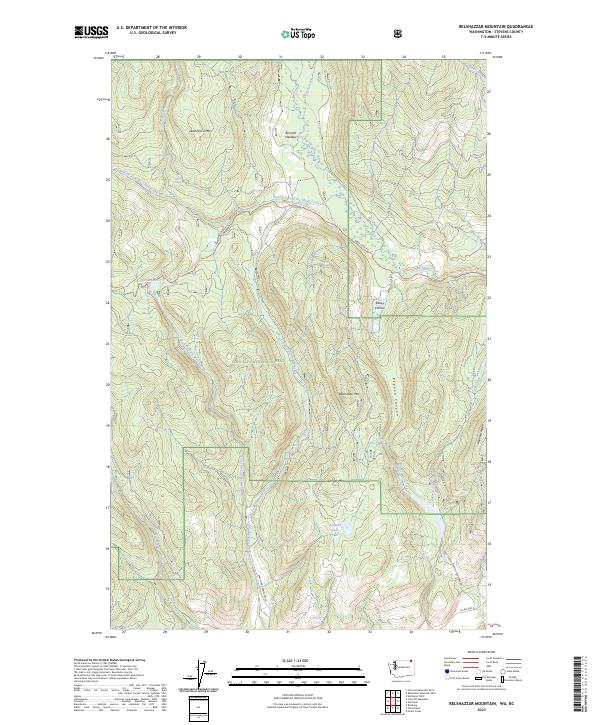
2023 Belshazzar Mountain
Stevens County, WA
2023 Benjamin Lake
Stevens County, WA
2023 Blackhorse Canyon
Stevens County, WA
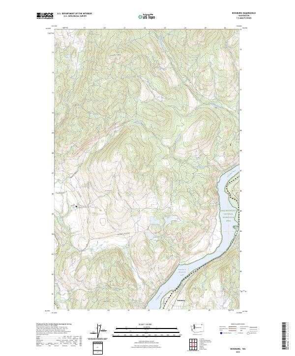
2023 Bossburg
Stevens County, WA
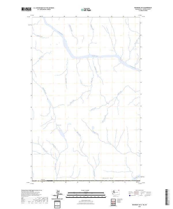
2023 Boundary OE N
Stevens County, WA
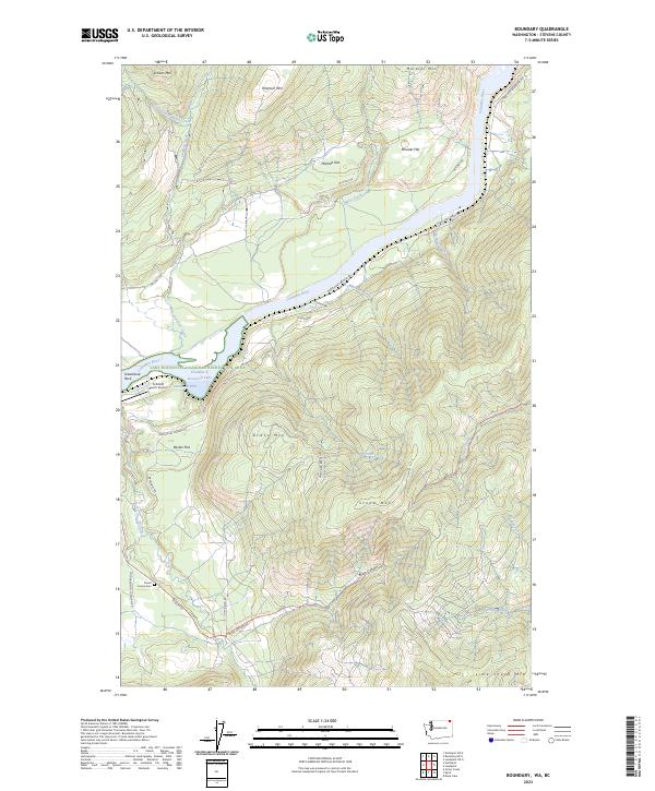
2023 Boundary
Stevens County, WA
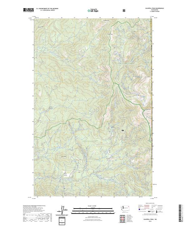
2023 Calispell Peak
Stevens County, WA
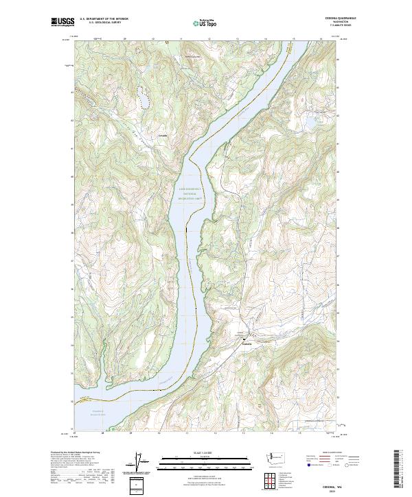
2023 Cedonia
Stevens County, WA
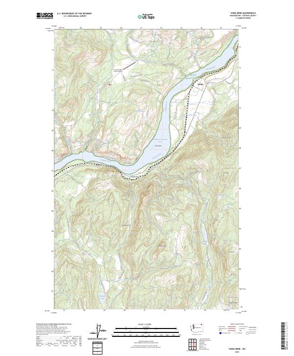
2023 China Bend
Stevens County, WA
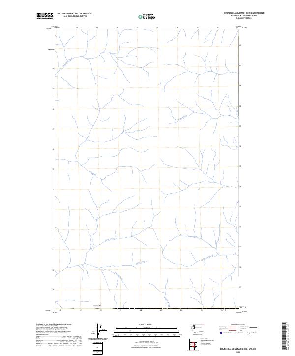
2023 Churchill Mountain OE N
Stevens County, WA
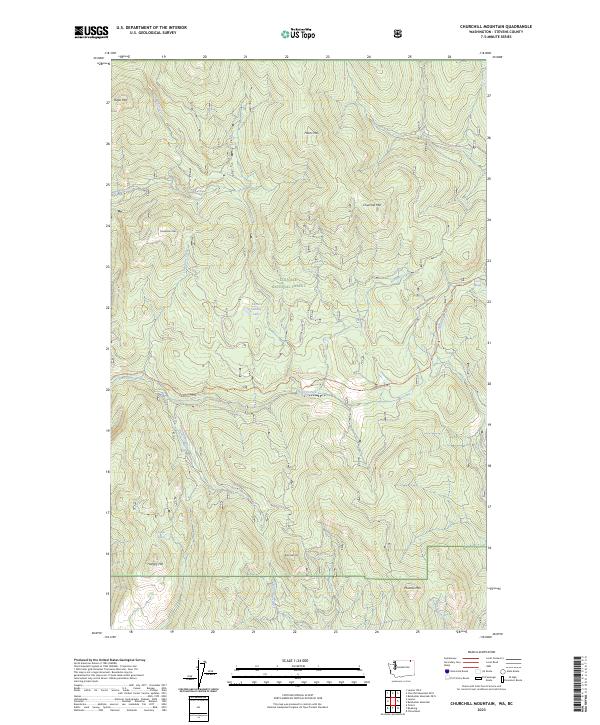
2023 Churchill Mountain
Stevens County, WA
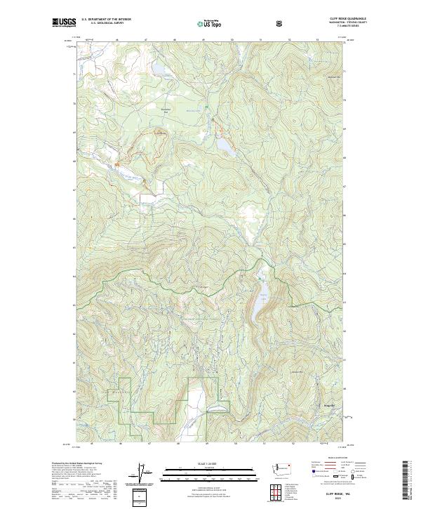
2023 Cliff Ridge
Stevens County, WA
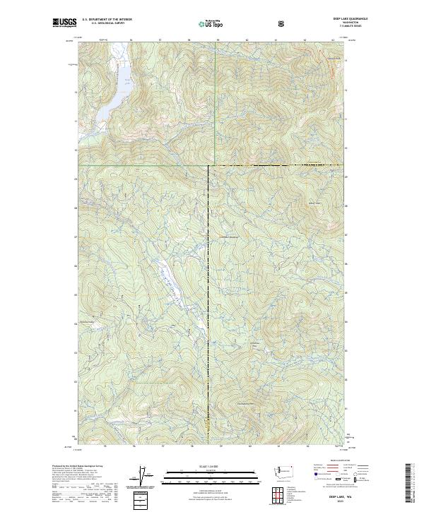
2023 Deep Lake
Stevens County, WA
2023 Deer Lake
Stevens County, WA
2023 Dunn Mountain
Stevens County, WA
2023 Echo Valley
Stevens County, WA
2023 Empey Mountain
Stevens County, WA
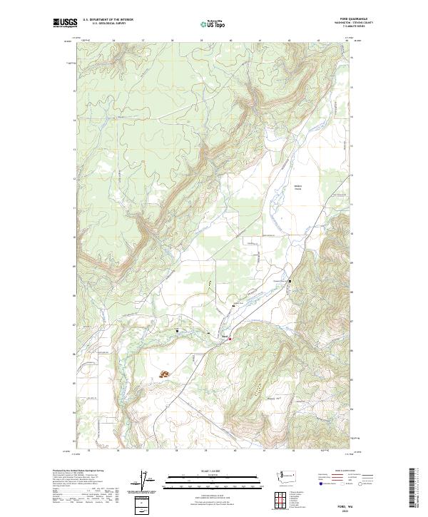
2023 Ford
Stevens County, WA
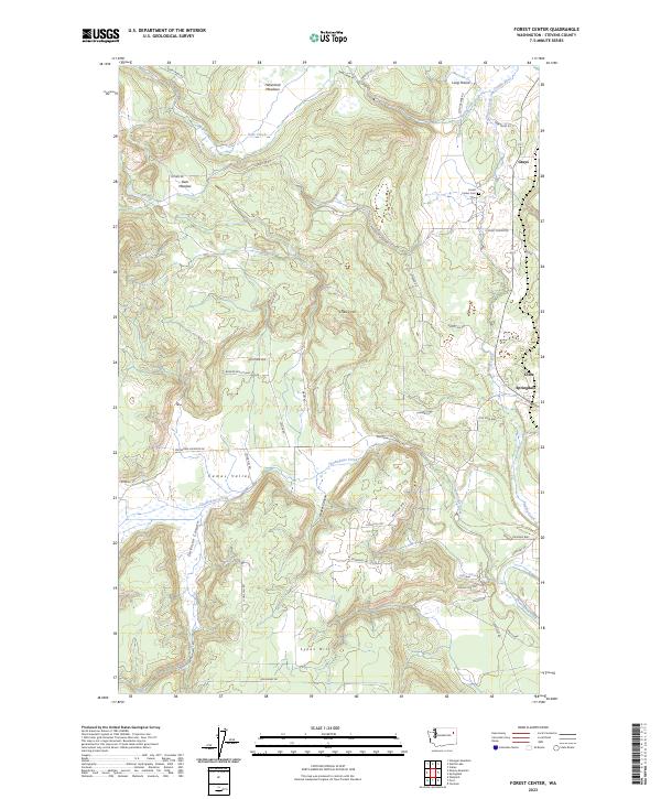
2023 Forest Center
Stevens County, WA

2023 Fort Spokane
Stevens County, WA
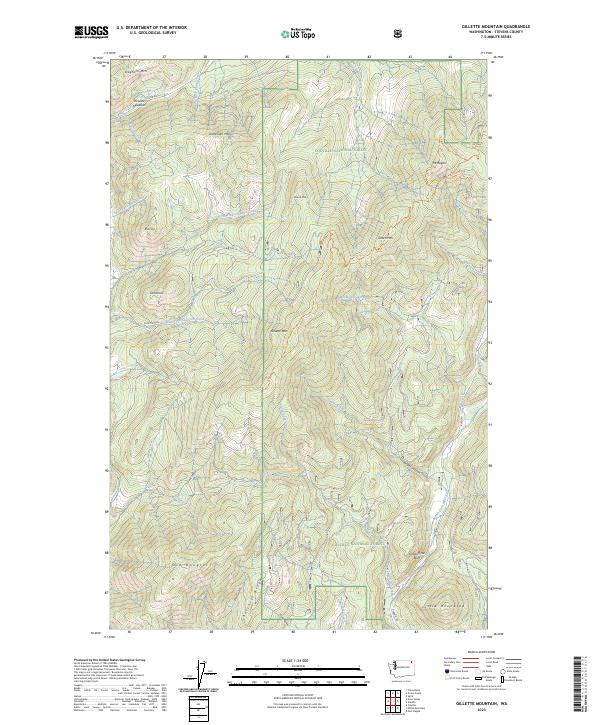
2023 Gillette Mountain
Stevens County, WA
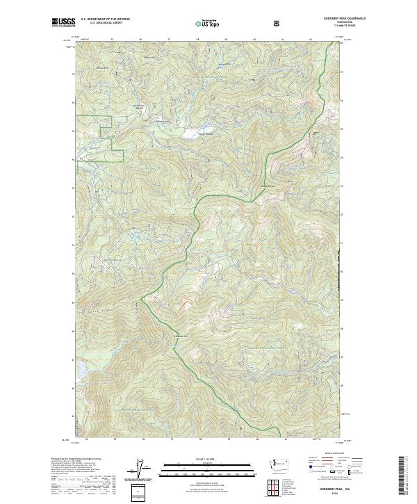
2023 Goddards Peak
Stevens County, WA
2023 Hunters
Stevens County, WA
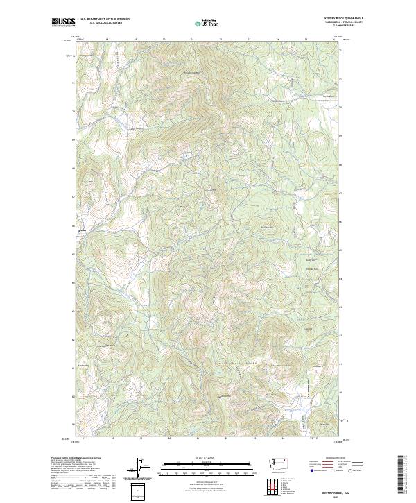
2023 Kentry Ridge
Stevens County, WA
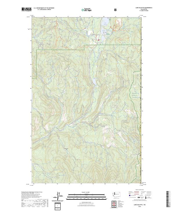
2023 Lake Gillette
Stevens County, WA
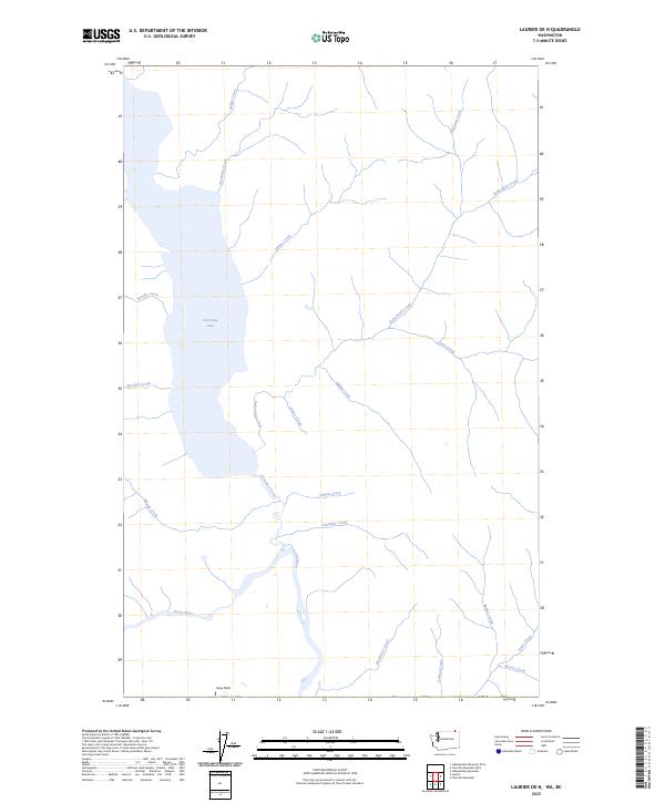
2023 Laurier OE N
Stevens County, WA
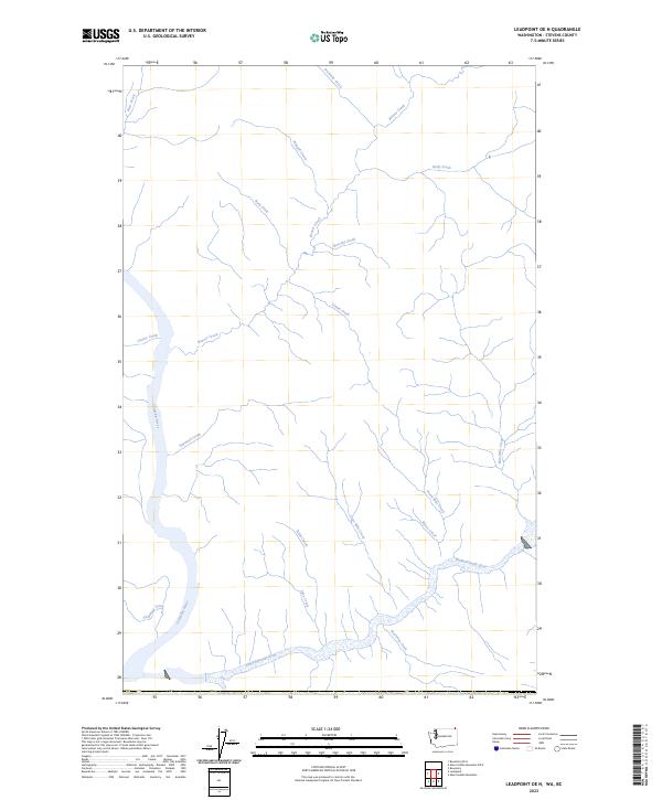
2023 Leadpoint OE N
Stevens County, WA
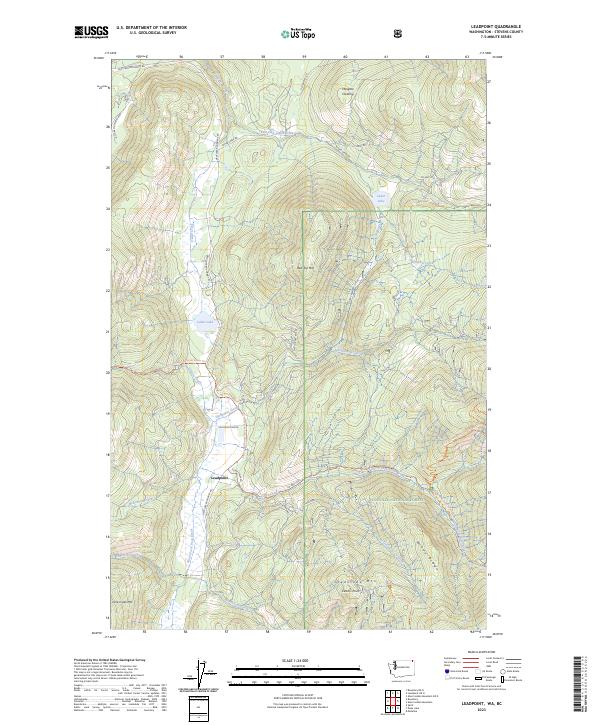
2023 Leadpoint
Stevens County, WA
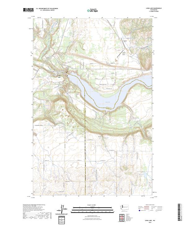
2023 Long Lake
Stevens County, WA
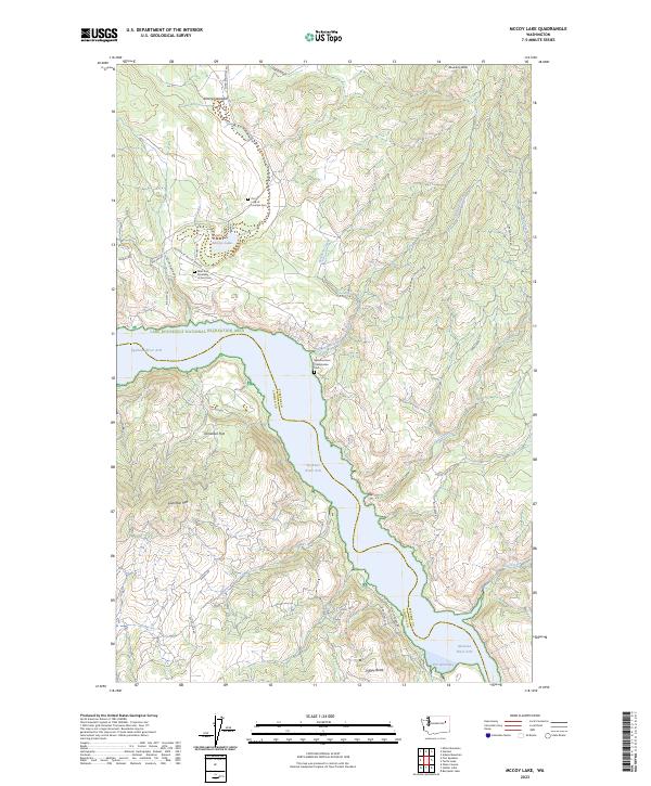
2023 McCoy Lake
Stevens County, WA
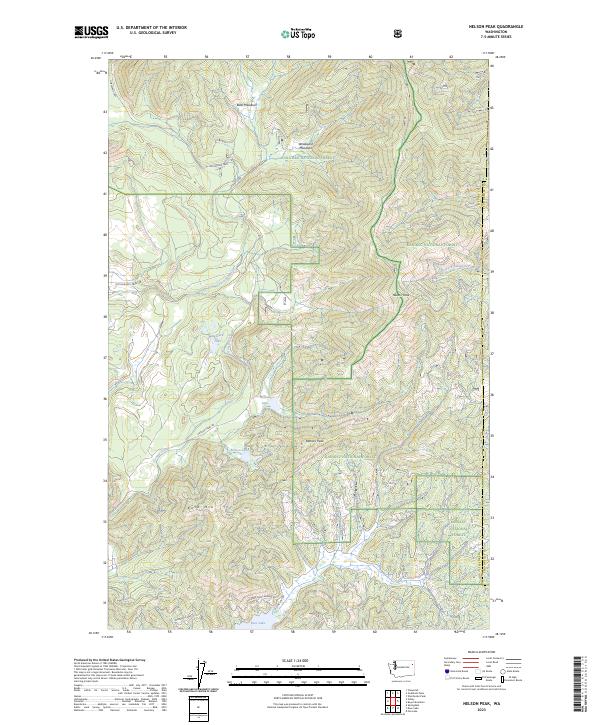
2023 Nelson Peak
Stevens County, WA
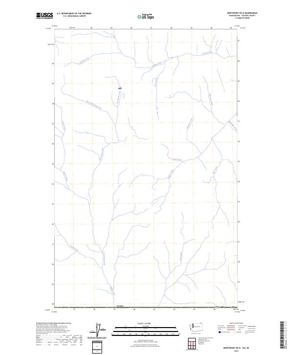
2023 Northport OE N
Stevens County, WA
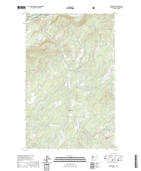
2023 Onion Creek
Stevens County, WA
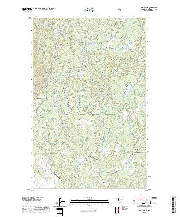
2023 Park Rapids
Stevens County, WA
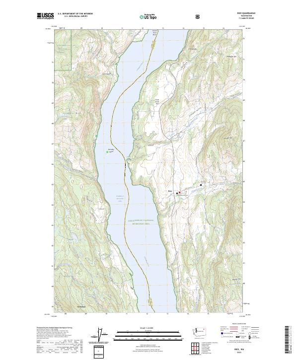
2023 Rice
Stevens County, WA
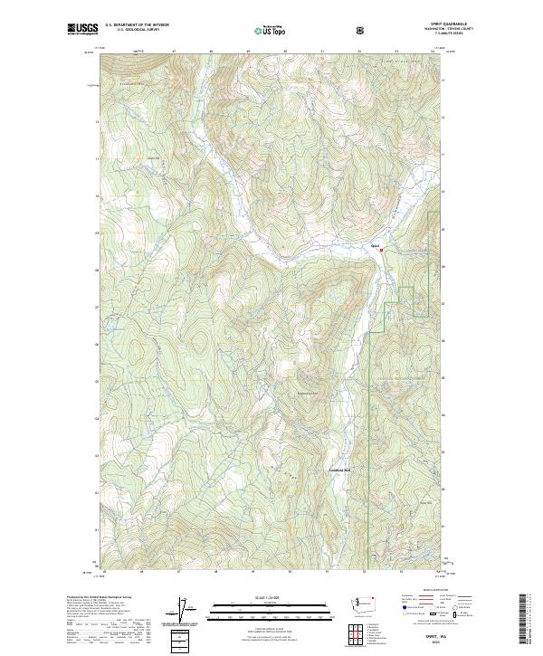
2023 Spirit
Stevens County, WA
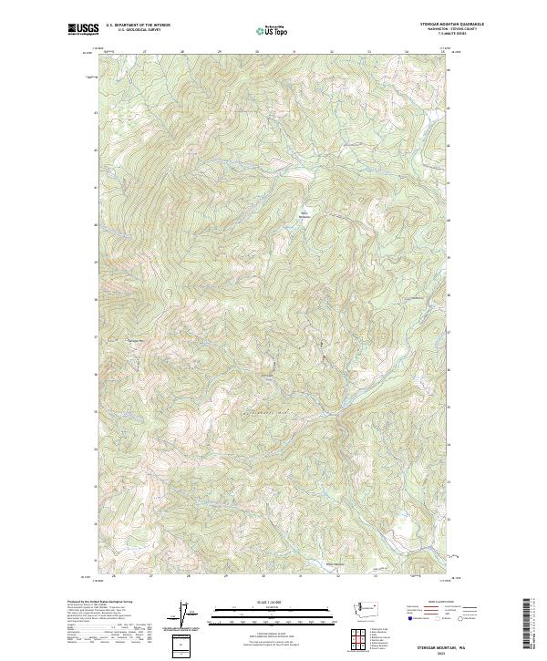
2023 Stensgar Mountain
Stevens County, WA
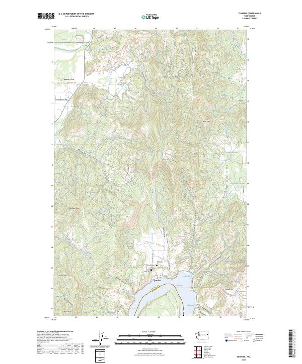
2023 Tumtum
Stevens County, WA
2023 Turtle Lake
Stevens County, WA
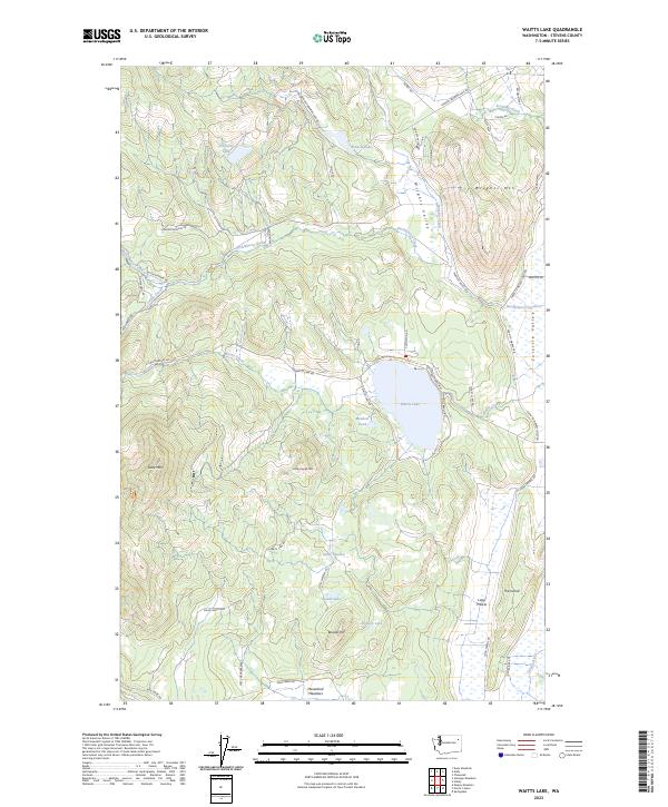
2023 Waitts Lake
Stevens County, WA
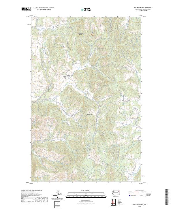
2023 Wellington Peak
Stevens County, WA
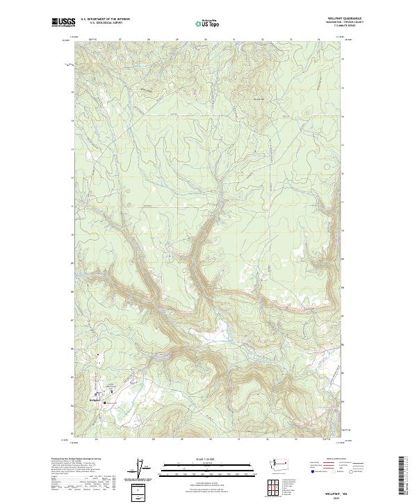
2023 Wellpinit
Stevens County, WA
2023 White Mud Lake
Stevens County, WA