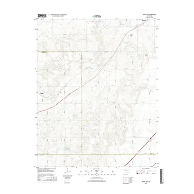
2016 Map of White Oak
USGS Topo · Published 2016About this map
The small community of White Oak anchors the landscape of northeastern Oklahoma at the intersection of several rural routes including S 4340 Rd. This 2016 survey documents the rolling terrain where Craig, Rogers, and Mayes counties meet. For genealogists, the map identifies local burial sites such as Shawnee Cem and White Oak Cem, while the industrial history of the region is suggested by the settlement at Sunsweet and the southwestern village of Catale. Water management defines the southern portion of the quadrangle, with Pryor Creek Watershed Site 27 Reservoir and several other man-made reservoirs punctuating the drainage basins of Pryor Cr and Little Pryor Cr. These sites, alongside larger settlements like Vinita to the northeast, show the modern development of the Cherokee Nation territory.
Find a feature on this map
50 named features on this map. Tap any name to fly to it.
Don’t see what you’re looking for? This feature index may not catch every label — zoom into the map to look around manually.
Map Details
Editions of this 2016 White Oak Map
This is the sole edition of this map. No revisions or reprints were ever made.
Other maps of this area

1896 · Pryor
USGS Topo · 1:125,000

1901 · Vinita
USGS Topo · 1:125,000

1901 · Pryor
USGS Topo · 1:125,000

1913 · Vinita
USGS Topo · 1:125,000

1954 · Tulsa
USGS Topo · 1:250,000

1958 · Tulsa
USGS Topo · 1:250,000

1963 · Tulsa
USGS Topo · 1:250,000

1969 · Adair
USGS Topo · 1:24,000
1970 · Bushyhead
USGS Topo · 1:24,000

1970 · Chelsea
USGS Topo · 1:24,000