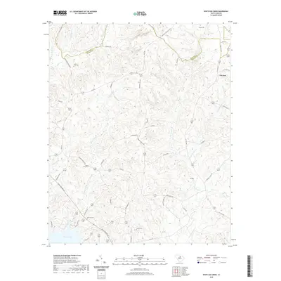
2020 Map of White Oak Creek
USGS Topo · Published 2020About this map
Wateree Lake forms the southwestern anchor of this landscape, where the waters of the Catawba River system meet the rolling terrain of the Carolina Piedmont. The boundary between Lancaster and Kershaw counties cuts through the northern portion of the map, dividing a region defined by numerous small watercourses like Little Beaver Creek and White Oak Creek. The settlement at Flat Rock and the high ground of Thorn Hill overlook a network of rural roads, many named for local families and landmarks, such as Baron DeKalb Rd and Kirkland Cemetary Rd.
Find a feature on this map
50 named features on this map. Tap any name to fly to it.
Don’t see what you’re looking for? This feature index may not catch every label — zoom into the map to look around manually.
Map Details
Editions of this 2020 White Oak Creek Map
This is the sole edition of this map. No revisions or reprints were ever made.
Other maps of this area

1935 · Camden
USGS Topo · 1:48,000

1938 · Camden
USGS Topo · 1:62,500

1941 · Spartanburg
USGS Topo · 1:250,000

1942 · Camden
USGS Topo · 1:125,000

1953 · Spartanburg
USGS Topo · 1:250,000

1960 · Spartanburg
USGS Topo · 1:250,000

1963 · Spartanburg
USGS Topo · 1:250,000

1964 · Spartanburg
USGS Topo · 1:250,000

1968 · Lancaster SE
USGS Topo · 1:24,000

1968 · Heath Springs
USGS Topo · 1:24,000