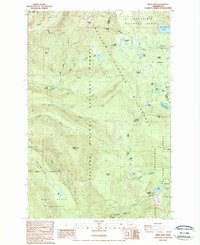
1988 Map of White Pass
USGS Topo · Published 1988About this map
The high mountain crest of the Cascade Range defines this 1988 survey, where the Lewis and Yakima county lines meet at the Pacific Crest National Scenic Trail. This wilderness landscape is protected by several massive reserves, including the William O. Douglas Wilderness and Goat Rocks Wilderness. The terrain is characterized by high-elevation lakes and prominent summits like Cramer Mtn and Fryingpan Mtn. Water moves through the landscape via the Clear Fork Cowlitz River and numerous glacial lakes, such as Twin Sisters Lakes and Leech Lake. Human passage is marked by the White Pass Campground and the strategic Cowlitz Pass, while isolated features like Log Spring and Soda Springs indicate historically vital water sources for travelers and foresters navigating the Snoqualmie National Forest.
Find a feature on this map
45 named features on this map. Tap any name to fly to it.
Don’t see what you’re looking for? This feature index may not catch every label — zoom into the map to look around manually.
Map Details
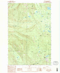
Editions of this 1988 White Pass Map
2 editions found
Other maps of this area

1902 · Mount Aix
USGS Topo · 1:125,000

1904 · Mt Aix
USGS Topo · 1:125,000

1924 · Mt Rainier
USGS Topo · 1:96,000

1928 · Mt Rainier
USGS Topo · 1:125,000

1950 · Yakima
USGS Topo · 1:250,000

1958 · Yakima
USGS Topo · 1:250,000

1961 · Yakima
USGS Topo · 1:250,000

1962 · Bumping Lake
USGS Topo · 1:62,500

1962 · White Pass
USGS Topo · 1:62,500

1962 · Packwood
USGS Topo · 1:62,500