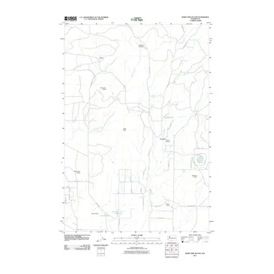
2011 Map of White Pine Buttes
USGS Topo · Published 2011About this map
Firwood serves as a central reference point in this Klickitat County landscape, which is defined by its distinct volcanic peaks and upland water sources. The map details a transition from the higher elevations of White Pine Buttes and Black Butte down toward the drainage of Mill Creek and the steep contours of Devils Canyon. Ranching and agricultural history is visible in the network of secondary roads and local landmarks like Brownlee Corrals and McEwen Meadows.
Find a feature on this map
45 named features on this map. Tap any name to fly to it.
Don’t see what you’re looking for? This feature index may not catch every label — zoom into the map to look around manually.
Map Details
Editions of this 2011 White Pine Buttes Map
This is the sole edition of this map. No revisions or reprints were ever made.
Other maps of this area

1904 · Mount Adams
USGS Topo · 1:125,000

1907 · Mount Adams
USGS Topo · 1:125,000

1934 · The Dalles
USGS Topo · 1:125,000

1937 · White Swan
USGS Topo · 1:125,000

1950 · Yakima
USGS Topo · 1:250,000

1953 · The Dalles
USGS Topo · 1:250,000

1956 · The Dalles
USGS Topo · 1:250,000

1957 · The Dalles
USGS Topo · 1:250,000

1957 · Klickitat
USGS Topo · 1:62,500

1957 · Goldendale
USGS Topo · 1:62,500