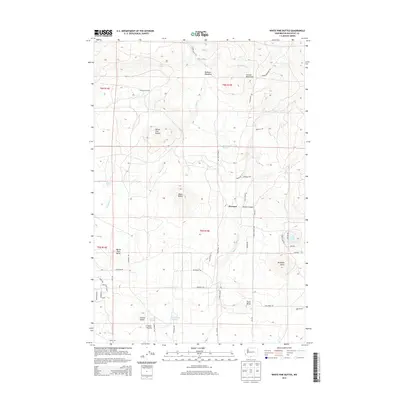
2014 Map of White Pine Buttes
USGS Topo · Published 2014About this map
Firwood sits at the heart of this landscape in the Simcoe Mountains, where the high desert meets the forested slopes of Klickitat County. The area is defined by a series of volcanic landmarks, including the namesake White Pine Buttes, Black Butte, and Jackknife Butte. These prominent elevations are broken by deep incisions like Devils Canyon and watered by numerous seasonal and perennial sources such as Bowman Cr, Shelton Spring, and Carp Lake.
Find a feature on this map
54 named features on this map. Tap any name to fly to it.
Don’t see what you’re looking for? This feature index may not catch every label — zoom into the map to look around manually.
Map Details
Editions of this 2014 White Pine Buttes Map
This is the sole edition of this map. No revisions or reprints were ever made.
Other maps of this area
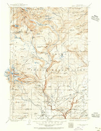
1904 · Mount Adams
USGS Topo · 1:125,000
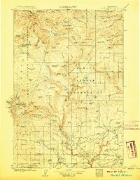
1907 · Mount Adams
USGS Topo · 1:125,000
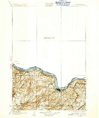
1934 · The Dalles
USGS Topo · 1:125,000
1937 · White Swan
USGS Topo · 1:125,000
1950 · Yakima
USGS Topo · 1:250,000
1953 · The Dalles
USGS Topo · 1:250,000
1956 · The Dalles
USGS Topo · 1:250,000
1957 · The Dalles
USGS Topo · 1:250,000
1957 · Klickitat
USGS Topo · 1:62,500
1957 · Goldendale
USGS Topo · 1:62,500