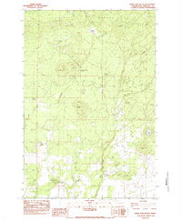
1983 Map of White Pine Buttes
USGS Topo · Published 1983About this map
The Simcoe Mountains of Klickitat County define this landscape, where volcanic features and seasonal water sources support high-country cattle ranching and recreational use. The A J Bolon Historic Mon in the northeast corner commemorates a notable moment in territorial history near the border of the Yakima Ind Res. Evidence of seasonal land use is scattered throughout the terrain, from Brownlee Corrals to established sites like Upper Bowman Campsite and its lower counterpart.
Find a feature on this map
28 named features on this map. Tap any name to fly to it.
Don’t see what you’re looking for? This feature index may not catch every label — zoom into the map to look around manually.
Map Details
Editions of this 1983 White Pine Buttes Map
This is the sole edition of this map. No revisions or reprints were ever made.
Other maps of this area
1904 · Mount Adams
USGS Topo · 1:125,000
1907 · Mount Adams
USGS Topo · 1:125,000
1934 · The Dalles
USGS Topo · 1:125,000
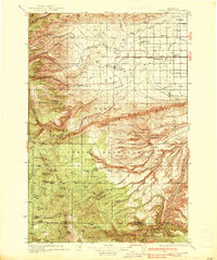
1937 · White Swan
USGS Topo · 1:125,000
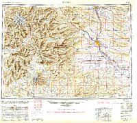
1950 · Yakima
USGS Topo · 1:250,000
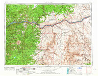
1953 · The Dalles
USGS Topo · 1:250,000
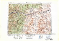
1956 · The Dalles
USGS Topo · 1:250,000
1957 · The Dalles
USGS Topo · 1:250,000
1957 · Klickitat
USGS Topo · 1:62,500
1957 · Goldendale
USGS Topo · 1:62,500