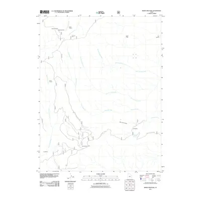
2011 Map of White Pine Peak
USGS Topo · Published 2011About this map
White Pine Peak rises as the central landmark of the Pahvant Range in this high-altitude corner of Sevier County. The landscape is defined by a series of steep, radial drainage systems, including White Pine Creek, Cottonwood Creek, and the North and South forks of Willow Creek. Evidence of human presence in this mountainous terrain is primarily concentrated along the lower elevations and through the historical infrastructure of the Civilian Conservation Rd, which winds through the southern portion of the quadrangle. Small-scale development is represented by the White Pine Cabins near Death Canyon, while localized landmarks like Burnt Hollow and The Elbow suggest long-standing geographic naming conventions used by ranchers and foresters. Significant water sources in this arid environment, such as Little Valley Spring in Little Valley, anchor the few accessible flats between the deep cuts of Deer Creek Canyon and Pauls Canyon.
Find a feature on this map
19 named features on this map. Tap any name to fly to it.
Don’t see what you’re looking for? This feature index may not catch every label — zoom into the map to look around manually.
Map Details
Editions of this 2011 White Pine Peak Map
This is the sole edition of this map. No revisions or reprints were ever made.
Other maps of this area

1885 · Beaver
USGS Topo · 1:250,000

1932 · Sevier
USGS Topo · 1:62,500

1935 · Sevier
USGS Topo · 1:62,500

1940 · Monroe
USGS Topo · 1:62,500

1944 · Monroe
USGS Topo · 1:62,500

1953 · Richfield
USGS Topo · 1:250,000

1958 · Richfield
USGS Topo · 1:250,000

1961 · Fillmore
USGS Topo · 1:24,000

1961 · Mt. Catherine
USGS Topo · 1:24,000

1961 · Richfield
USGS Topo · 1:62,500