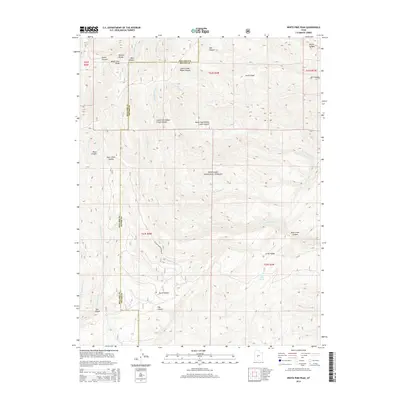
2014 Map of White Pine Peak
USGS Topo · Published 2014About this map
White Pine Peak rises as the central landmark within the Pahvant Range, dominating a high-altitude landscape where the Millard and Sevier County line divides the drainage basins. This 2014 survey documents a network of canyons and ridges within the Fishlake National Forest, where water sources like Little Valley Spring and the S Fork Chalk Cr define the local topography. The presence of the Civilian Conservation Rd suggests a history of landscape management and accessibility through the steep terrain of Bear Canyon and Death Canyon. The map reveals a complex system of seasonal watercourses, including Cottonwood Cr and N Fork Willow Cr, which have carved distinct features like The Elbow and Burnt Hollow over time.
Find a feature on this map
27 named features on this map. Tap any name to fly to it.
Don’t see what you’re looking for? This feature index may not catch every label — zoom into the map to look around manually.
Map Details
Editions of this 2014 White Pine Peak Map
This is the sole edition of this map. No revisions or reprints were ever made.
Other maps of this area

1885 · Beaver
USGS Topo · 1:250,000

1932 · Sevier
USGS Topo · 1:62,500

1935 · Sevier
USGS Topo · 1:62,500

1940 · Monroe
USGS Topo · 1:62,500

1944 · Monroe
USGS Topo · 1:62,500

1953 · Richfield
USGS Topo · 1:250,000

1958 · Richfield
USGS Topo · 1:250,000

1961 · Fillmore
USGS Topo · 1:24,000

1961 · Mt. Catherine
USGS Topo · 1:24,000

1961 · Richfield
USGS Topo · 1:62,500