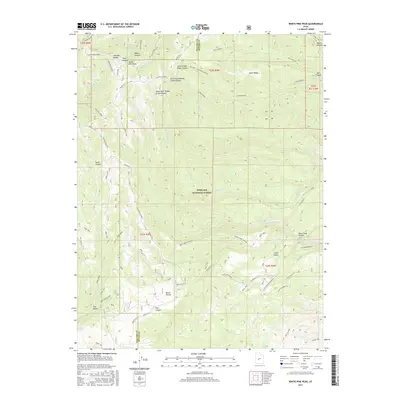
2017 Map of White Pine Peak
USGS Topo · Published 2017About this map
White Pine Peak serves as a central anchor for this section of the Pahvant Range within the Fishlake National Forest. The landscape is defined by deep drainage networks including Deer Creek Canyon and South Fork Willow Creek Canyon, which reveal the complex topography along the Millard and Sevier County line. The map highlights a significant network of historic and recreational routes, most notably the Paiute (D-1) and various trails like Trail 1444 and Trail 1476. These paths often follow the natural contours of landmarks such as Sand Rock Ridge and South Cedar Ridge. Water sources like Little Valley Spring and White Pine Creek illustrate the vital hydrology of these high-elevation forest lands, while labels such as Richfield CCC and Richfield-Pioneer reflect the 20th-century history of resource management and trail building in the Utah interior.
Find a feature on this map
59 named features on this map. Tap any name to fly to it.
Don’t see what you’re looking for? This feature index may not catch every label — zoom into the map to look around manually.
Map Details
Editions of this 2017 White Pine Peak Map
This is the sole edition of this map. No revisions or reprints were ever made.
Other maps of this area

1885 · Beaver
USGS Topo · 1:250,000

1932 · Sevier
USGS Topo · 1:62,500

1935 · Sevier
USGS Topo · 1:62,500

1940 · Monroe
USGS Topo · 1:62,500

1944 · Monroe
USGS Topo · 1:62,500

1953 · Richfield
USGS Topo · 1:250,000

1958 · Richfield
USGS Topo · 1:250,000

1961 · Fillmore
USGS Topo · 1:24,000

1961 · Mt. Catherine
USGS Topo · 1:24,000

1961 · Richfield
USGS Topo · 1:62,500