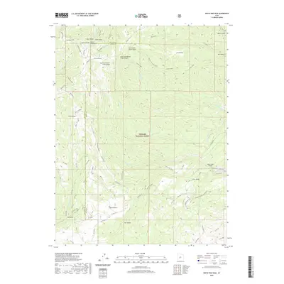
2020 Map of White Pine Peak
USGS Topo · Published 2020About this map
White Pine Peak rises as the central landmark of the Pahvant Range in this high-altitude portion of Fishlake National Forest. The landscape is deeply incised by a series of dramatic canyons, most notably South Fork Willow Creek Canyon and North Fork Willow Creek Canyon to the north, and Deer Creek Canyon further south. The map documents an intricate network of backcountry trails and forest routes, such as the Paiute (D-1) and Trail 1444, providing critical context for the accessibility of this high-desert terrain. Water sources like Little Valley Spring and Meadow Creek serve as rare vital points in the arid environment. Along the western edge, the Millard Co and Sevier Co border follows the high ridges, including Sandrock Ridge, illustrating how the physical geography of the Pahvant Range has historically dictated political and administrative boundaries.
Find a feature on this map
54 named features on this map. Tap any name to fly to it.
Don’t see what you’re looking for? This feature index may not catch every label — zoom into the map to look around manually.
Map Details
Editions of this 2020 White Pine Peak Map
This is the sole edition of this map. No revisions or reprints were ever made.
Other maps of this area

1885 · Beaver
USGS Topo · 1:250,000

1932 · Sevier
USGS Topo · 1:62,500

1935 · Sevier
USGS Topo · 1:62,500

1940 · Monroe
USGS Topo · 1:62,500

1944 · Monroe
USGS Topo · 1:62,500

1953 · Richfield
USGS Topo · 1:250,000

1958 · Richfield
USGS Topo · 1:250,000

1961 · Fillmore
USGS Topo · 1:24,000

1961 · Mt. Catherine
USGS Topo · 1:24,000

1961 · Richfield
USGS Topo · 1:62,500