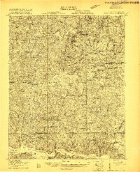
1919 Map of White Plains
USGS Topo · Published 1919About this map
White Plains and its surrounding rural network are documented here just after the First World War, as surveyed by R. B. Marshall and the U.S. Geological Survey. The landscape is defined by the heavy presence of community institutions, with a dense distribution of country churches such as Bethany Church, Jerusalem Church, and Antioch Church anchoring local life. The map illustrates a transitional period in transportation, featuring established post offices like Powellton PO and general stores including Vultare Store and Moores Store.
Find a feature on this map
78 named features on this map. Tap any name to fly to it.
Don’t see what you’re looking for? This feature index may not catch every label — zoom into the map to look around manually.
Map Details
Editions of this 1919 White Plains Map
This is the sole edition of this map. No revisions or reprints were ever made.
Other maps of this area
1918 · Lawrenceville
USGS Topo · 1:62,500
1919 · Mc Kenney
USGS Topo · 1:48,000
1919 · Emporia
USGS Topo · 1:62,500
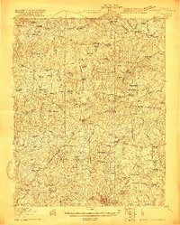
1920 · Lawrenceville
USGS Topo · 1:48,000
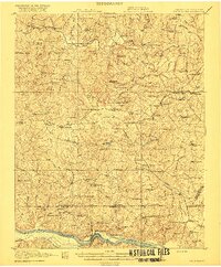
1920 · White Plains
USGS Topo · 1:62,500
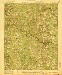
1921 · Mc Kenney
USGS Topo · 1:62,500
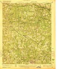
1921 · Lawrenceville
USGS Topo · 1:62,500
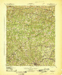
1942 · Lawrenceville
USGS Topo · 1:62,500
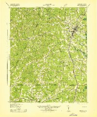
1942 · Emporia
USGS Topo · 1:62,500
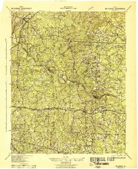
1943 · Mc Kenney
USGS Topo · 1:62,500