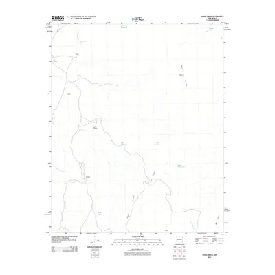
2010 Map of White Ridge
USGS Topo · Published 2010About this map
Arroyo Lucero carves through this arid landscape, defining a region characterized by high mesas and isolated ranching infrastructure. This high-desert terrain is marked by essential water sources like Lower Water Spring and Lucero Spring, which supported livestock operations at the T X Ranch. The reliance on groundwater is evident in the numerous namesake structures such as Lucero Windmill, Red Windmill, and Fenceline Windmill, which dot the drainages leading toward Sierra Lucero.
Find a feature on this map
23 named features on this map. Tap any name to fly to it.
Don’t see what you’re looking for? This feature index may not catch every label — zoom into the map to look around manually.
Map Details
Editions of this 2010 White Ridge Map
This is the sole edition of this map. No revisions or reprints were ever made.
Other maps of this area

1917 · Cerro Verde
USGS Topo · 1:125,000

1954 · South Garcia
USGS Topo · 1:24,000

1954 · South Garcia SE
USGS Topo · 1:24,000

1954 · Socorro
USGS Topo · 1:250,000

1956 · South Garcia
USGS Topo · 1:62,500

1956 · Mesa Aparejo
USGS Topo · 1:62,500

1958 · Socorro
USGS Topo · 1:250,000
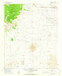
1960 · Dough Mountain
USGS Topo · 1:24,000

1960 · Cerro Verde
USGS Topo · 1:24,000

1962 · Socorro
USGS Topo · 1:250,000