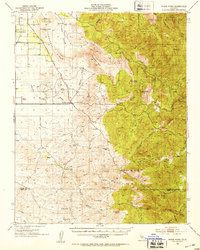
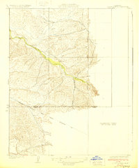
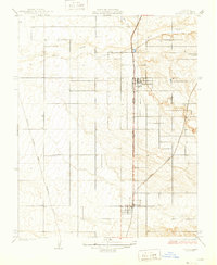
1952 Map of White River
USGS Topo · Published 1953About this map
The Old Stockton Los Angeles Stage Road cuts across this Sierra Nevada foothills landscape, tracing a path through the rolling ranchlands of Tulare and Kern counties. This mid-century survey documents a scattered network of family holdings, including the Pratt Ranch, Flynn Ranch, and Zumwalt Ranch, which anchor the open terrain between Deer Creek and the White River. The presence of the White River Cem and small settlements like Fountain Springs and Deer Creek Colony points to the early settlement patterns of the region's agricultural and transit history.
Find a feature on this map
52 named features on this map. Tap any name to fly to it.
Don’t see what you’re looking for? This feature index may not catch every label — zoom into the map to look around manually.
Map Details
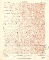
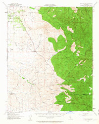
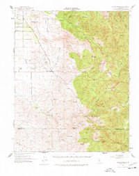
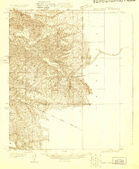
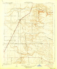
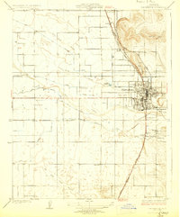
Editions of this 1952 White River Map
4 editions found
Other maps of this area

1904 · Kaweah
USGS Topo · 1:125,000

1909 · Kaweah
USGS Topo · 1:125,000

1920 · Delonagha
USGS Topo · 1:62,500
1926 · Quincy School
USGS Topo · 1:31,680

1926 · Glennville
USGS Topo · 1:62,500
1929 · Richgrove
USGS Topo · 1:31,680
1929 · Porterville
USGS Topo · 1:31,680
1929 · Quincy School
USGS Topo · 1:31,680
1929 · Ducor
USGS Topo · 1:31,680
1931 · Deepwell Ranch
USGS Topo · 1:31,680