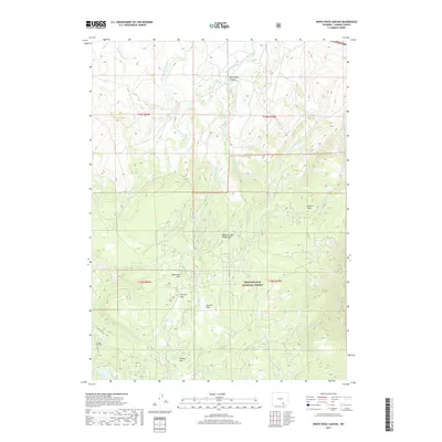
2017 Map of White Rock Canyon
USGS Topo · Published 2017About this map
Medicine Bow National Forest dominates this section of the Medicine Bow Mountains, a landscape defined by high-elevation meadows and a complex network of headwater streams. Named clearings such as Racehorse Park, Stanley Park, Sawmill Park, and Willow Park are interspersed throughout the timbered terrain, suggesting a history of seasonal use and grazing within the forest boundaries. The hydrology is particularly intricate, with the Medicine Bow River and its E Fork flowing through the southwest, while numerous creeks like Wagonhound Cr and Foote Cr drain the northern and eastern slopes. Significant landmarks include White Rock Canyon and the prominent Conical Peak, providing a clear record of the physical geography of Carbon County in the early twenty-first century. This survey documents the intersection of protected public lands and the essential water sources that feed the surrounding region.
Find a feature on this map
30 named features on this map. Tap any name to fly to it.
Don’t see what you’re looking for? This feature index may not catch every label — zoom into the map to look around manually.
Map Details
Editions of this 2017 White Rock Canyon Map
This is the sole edition of this map. No revisions or reprints were ever made.
Other maps of this area

1906 · Medicine Bow
USGS Topo · 1:125,000

1908 · Medicine Bow
USGS Topo · 1:125,000

1954 · Rawlins
USGS Topo · 1:250,000

1955 · Elk Mountain
USGS Topo · 1:24,000

1955 · Elk Mountain SW
USGS Topo · 1:24,000

1958 · Rawlins
USGS Topo · 1:250,000

1958 · White Rock Canyon
USGS Topo · 1:24,000

1958 · Arlington
USGS Topo · 1:24,000

1958 · Mc Fadden
USGS Topo · 1:24,000

1958 · T L Ranch
USGS Topo · 1:24,000