
1958 Map of Mc Fadden
USGS Topo · Published 1959About this map
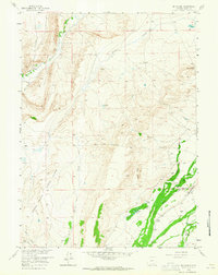
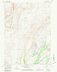
The Rock Creek Oil Field and the settlement of Mc Fadden anchor this late 1950s survey of the Wyoming high plains. The landscape is defined by an active energy infrastructure, featuring a Refinery, numerous Oil Well sites, and an extensive network of both aboveground and underground utility lines. Water management is critical in this arid terrain, as seen in the Fisher Field No 1 Ditch, an aqueduct, and various Beaver Ponds along Rock Creek.
Find a feature on this map
31 named features on this map. Tap any name to fly to it.
Don’t see what you’re looking for? This feature index may not catch every label — zoom into the map to look around manually.
Map Details
Editions of this 1958 Mc Fadden Map
3 editions found
Other maps of this area

1914 · Saddleback Hills
USGS Topo · 1:62,500

1915 · Como Ridge
USGS Topo · 1:48,000

1918 · Como Ridge
USGS Topo · 1:62,500

1921 · Saddleback Hills
USGS Topo · 1:62,500

1954 · Rawlins
USGS Topo · 1:250,000

1958 · Rawlins
USGS Topo · 1:250,000

1958 · White Rock Canyon
USGS Topo · 1:24,000

1958 · Bengough Hill
USGS Topo · 1:24,000

1958 · Arlington
USGS Topo · 1:24,000
1958 · Pierce Reservoir
USGS Topo · 1:24,000