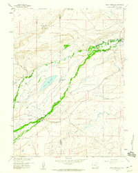
1958 Map of Pierce Reservoir
USGS Topo · Published 1960About this map
Diamond Dome and its surrounding gas field dominate the northwestern landscape of this Wyoming territory on the edge of the Carbon and Albany county lines. The high plains terrain is defined by a complex network of irrigation and infrastructure, featuring the Bosler No 3 Canal and numerous named waterworks like the John White Enlargement Ditch. Large ranching operations are prominent throughout the area, including the Dobson Ranch and Banzhof Ranch situated along the winding course of Rock Creek. Evidence of mid-century technical expansion is visible in the presence of the Valley Radio Station, the Double K Ranch Airstrip, and an extensive underground telephone cable system. Centered on Pierce Reservoir, this survey documents a landscape where traditional cattle ranching and early energy extraction intersect.
Find a feature on this map
31 named features on this map. Tap any name to fly to it.
Don’t see what you’re looking for? This feature index may not catch every label — zoom into the map to look around manually.
Map Details
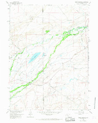
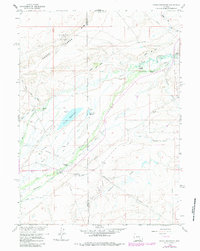
Editions of this 1958 Pierce Reservoir Map
3 editions found
Other maps of this area

1915 · Como Ridge
USGS Topo · 1:48,000

1918 · Como Ridge
USGS Topo · 1:62,500

1954 · Cheyenne
USGS Topo · 1:250,000

1954 · Rawlins
USGS Topo · 1:250,000

1955 · Big Judson
USGS Topo · 1:24,000

1955 · Rock River
USGS Topo · 1:24,000

1955 · Wilcox
USGS Topo · 1:24,000

1958 · Rawlins
USGS Topo · 1:250,000

1958 · Cheyenne
USGS Topo · 1:250,000

1958 · Bengough Hill
USGS Topo · 1:24,000