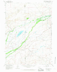
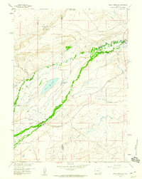
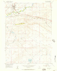
1958 Map of Pierce Reservoir
USGS Topo · Published 1968About this map
Diamond Ranch and a network of family-held properties define this high-plains landscape along the border of Carbon and Albany counties during the late 1950s. The map reveals an economy built on water management and energy extraction, with features like the Bosler No 3 Canal and John White Enlargement Ditch feeding into the arid terrain. Near the center, Pierce Reservoir and Little Pierce Reservoir serve as vital catchments in an area otherwise marked by ephemeral drainage and rugged hills like Diamond Dome.
Find a feature on this map
28 named features on this map. Tap any name to fly to it.
Don’t see what you’re looking for? This feature index may not catch every label — zoom into the map to look around manually.
Map Details
Editions of this 1958 Pierce Reservoir Map
3 editions found

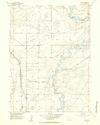
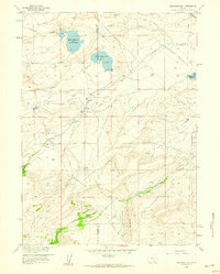
Other maps of this area
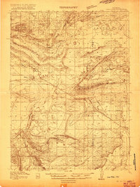
1915 · Como Ridge
USGS Topo · 1:48,000
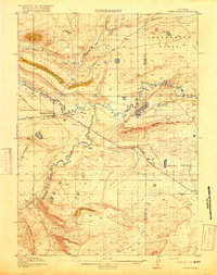
1918 · Como Ridge
USGS Topo · 1:62,500

1954 · Cheyenne
USGS Topo · 1:250,000

1954 · Rawlins
USGS Topo · 1:250,000

1955 · Big Judson
USGS Topo · 1:24,000
1955 · Rock River
USGS Topo · 1:24,000
1955 · Wilcox
USGS Topo · 1:24,000

1958 · Rawlins
USGS Topo · 1:250,000

1958 · Cheyenne
USGS Topo · 1:250,000
1958 · Bengough Hill
USGS Topo · 1:24,000