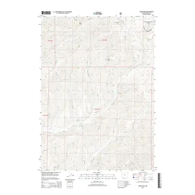
2014 Map of White Rock
USGS Topo · Published 2014About this map
Letitia Cem sits near the heart of this Douglas County landscape, serving as a primary point of genealogical interest in an area defined by its complex drainage systems and forest management. This 2014 survey documents a rugged section of the Umpqua National Forest, where numerous creeks including S Myrtle Cr, Days Cr, and Weaver Cr carve through high ridges. The map highlights the dominance of the Bureau of Land Management's road network, which provides access to remote landmarks like White Rock and Buck Butte. Water resources are a critical feature of the terrain, from the Briggs Reservoir to high-elevation sources such as White Rock Springs and Yellow Jacket Spring. This modern data set captures the intersection of industrial timber access and public forest preservation.
Find a feature on this map
58 named features on this map. Tap any name to fly to it.
Don’t see what you’re looking for? This feature index may not catch every label — zoom into the map to look around manually.
Map Details
Editions of this 2014 White Rock Map
This is the sole edition of this map. No revisions or reprints were ever made.
Other maps of this area

1891 · Ashland
USGS Topo · 1:250,000

1893 · Ashland
USGS Topo · 1:250,000

1897 · Roseburg
USGS Topo · 1:125,000

1897 · Ashland
USGS Topo · 1:250,000

1900 · Roseburg
USGS Topo · 1:125,000

1904 · Riddle
USGS Topo · 1:125,000

1944 · Tiller
USGS Topo · 1:62,500

1954 · Dixonville
USGS Topo · 1:62,500

1954 · Days Creek
USGS Topo · 1:62,500

1955 · Red Butte
USGS Topo · 1:62,500