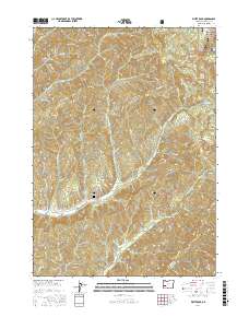
2017 Map of White Rock
USGS Topo · Published 2017About this map
Umpqua National Forest defines the high-elevation landscape of this Douglas County quadrangle, where a dense network of logging and forest service roads cuts through the drainage basins of the S Myrtle Cr and Days Cr. The terrain is marked by prominent peaks such as White Rock, Buck Butte, and Riser Butte, while local water sources like White Rock Springs and Yellow Jacket Spring dot the ridges.
Find a feature on this map
89 named features on this map. Tap any name to fly to it.
Don’t see what you’re looking for? This feature index may not catch every label — zoom into the map to look around manually.
Map Details
Editions of this 2017 White Rock Map
This is the sole edition of this map. No revisions or reprints were ever made.
Other maps of this area

1891 · Ashland
USGS Topo · 1:250,000

1893 · Ashland
USGS Topo · 1:250,000

1897 · Roseburg
USGS Topo · 1:125,000

1897 · Ashland
USGS Topo · 1:250,000

1900 · Roseburg
USGS Topo · 1:125,000

1904 · Riddle
USGS Topo · 1:125,000

1944 · Tiller
USGS Topo · 1:62,500

1954 · Dixonville
USGS Topo · 1:62,500

1954 · Days Creek
USGS Topo · 1:62,500

1955 · Red Butte
USGS Topo · 1:62,500