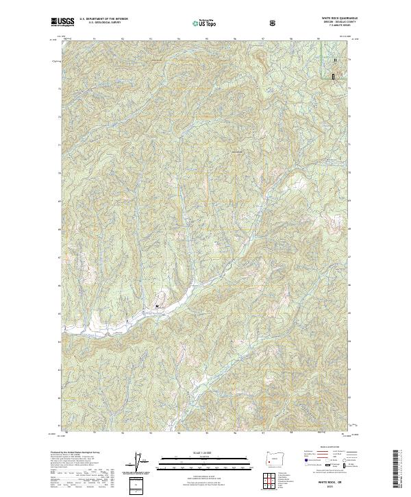
2023 Map of White Rock
USGS Topo · Published 2023About this map
Umpqua National Forest land dominates this Douglas County landscape, where the drainage systems of South Myrtle Creek and Days Creek carve through the timbered terrain. The presence of the Letitia Cem near Briggs Reservoir provides a localized point of interest for genealogists and local historians, marking a quiet pocket of human activity amidst the dense network of Bureau of Land Management routes. Numerous spur roads, such as BLM RD 31.0 and BLM RD 33.0, spiderweb across the ridges to reach high points like Buck Butte and Riser Butte. This modern topography documents the sophisticated access required for forest management and fire suppression, including links to the White Rock Trl and various springs like White Rock Springs. The map illustrates a landscape of working timberlands defined by its creeks, from Louis Creek in the north to the headwaters of Graham Gulch in the south.
Find a feature on this map
89 named features on this map. Tap any name to fly to it.
Don’t see what you’re looking for? This feature index may not catch every label — zoom into the map to look around manually.
Map Details
Editions of this 2023 White Rock Map
This is the sole edition of this map. No revisions or reprints were ever made.
Other maps of this area

1891 · Ashland
USGS Topo · 1:250,000

1893 · Ashland
USGS Topo · 1:250,000

1897 · Roseburg
USGS Topo · 1:125,000

1897 · Ashland
USGS Topo · 1:250,000

1900 · Roseburg
USGS Topo · 1:125,000

1904 · Riddle
USGS Topo · 1:125,000

1944 · Tiller
USGS Topo · 1:62,500

1954 · Dixonville
USGS Topo · 1:62,500

1954 · Days Creek
USGS Topo · 1:62,500

1955 · Red Butte
USGS Topo · 1:62,500