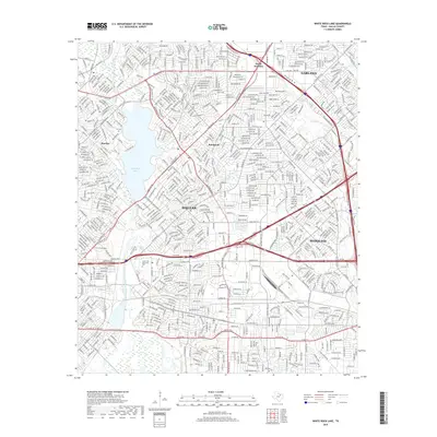
2019 Map of White Rock Lake
USGS Topo · Published 2019About this map
White Rock Lake anchors this eastern Dallas landscape, surrounded by the developed urban corridors of Dallas, Garland, and Mesquite. The map details the dense residential expansion around the lake and the significant transportation networks of the Lyndon B Johnson Fwy and US Hwy 80. This 2019 survey documents a modern metropolitan footprint, yet it preserves the locations of older community anchors such as the Cox Cem and the historical neighborhoods of Reinhardt and Rawlins.
Find a feature on this map
40 named features on this map. Tap any name to fly to it.
Don’t see what you’re looking for? This feature index may not catch every label — zoom into the map to look around manually.
Map Details
Editions of this 2019 White Rock Lake Map
This is the sole edition of this map. No revisions or reprints were ever made.
Other maps of this area

1891 · Dallas
USGS Topo · 1:125,000

1893 · Dallas
USGS Topo · 1:125,000

1931 · Carrollton
USGS Topo · 1:62,500

1954 · Dallas
USGS Topo · 1:250,000

1957 · White Rock Lake
USGS Topo · 1:24,000

1958 · Dallas
USGS Topo · 1:250,000

1958 · Hutchins
USGS Topo · 1:24,000

1958 · Oak Cliff
USGS Topo · 1:24,000

1958 · Dallas
USGS Topo · 1:24,000

1958 · White Rock Lake
USGS Topo · 1:24,000