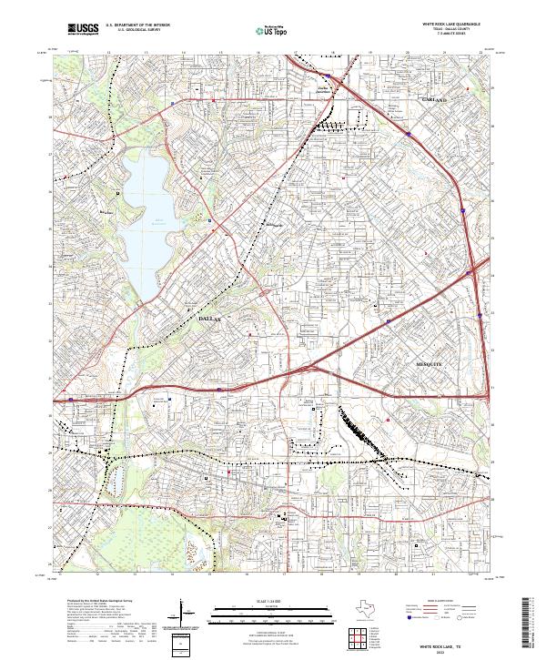
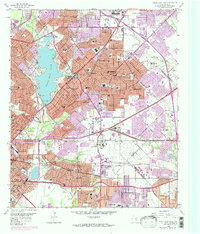
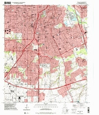
2022 Map of White Rock Lake
USGS Topo · Published 2022About this map
Dallas and its eastern suburbs are shown in high detail during the early 2020s, dominated by the recreational and geographical centerpiece of White Rock Lake. The surrounding urban landscape is a dense network of residential streets and major transit corridors, including the Lyndon B Johnson Fwy and I-30. Numerous historic burial grounds are preserved amidst the development, such as the Warren Angus Ferris Cem and the Pleasant Mound Cem, offering touchstones for local genealogists. To the east, the map captures the transition into Mesquite and Garland, with the Dallas College Eastfield Campus serving as a major institutional landmark. The terrain is defined by the winding course of White Rock Creek and smaller tributaries like Prairie Cr, which carve greenbelts through the established neighborhoods of Rawlins and Reinhardt.
Find a feature on this map
45 named features on this map. Tap any name to fly to it.
Don’t see what you’re looking for? This feature index may not catch every label — zoom into the map to look around manually.
Map Details
Editions of this 2022 White Rock Lake Map
This is the sole edition of this map. No revisions or reprints were ever made.
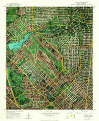
Historical Maps of Rawlins Through Time
11 maps found
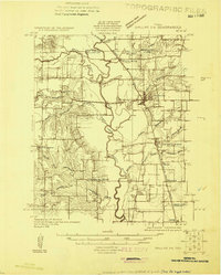
1925 Dallas 2-b
Dallas County, TX
1957 White Rock Lake
Dallas County, TX
1958 Oak Cliff
Dallas County, TX
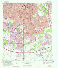
1958 White Rock Lake
Dallas County, TX
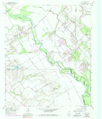
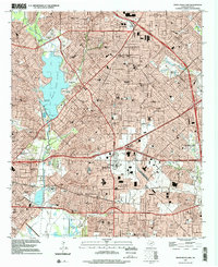
1959 India
Dallas County, TX
1968 Dallas (A)
Dallas County, TX
1995 Oak Cliff
Dallas County, TX
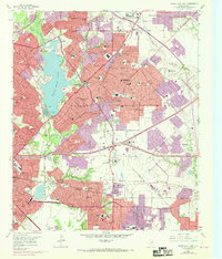
1995 White Rock Lake
Dallas County, TX
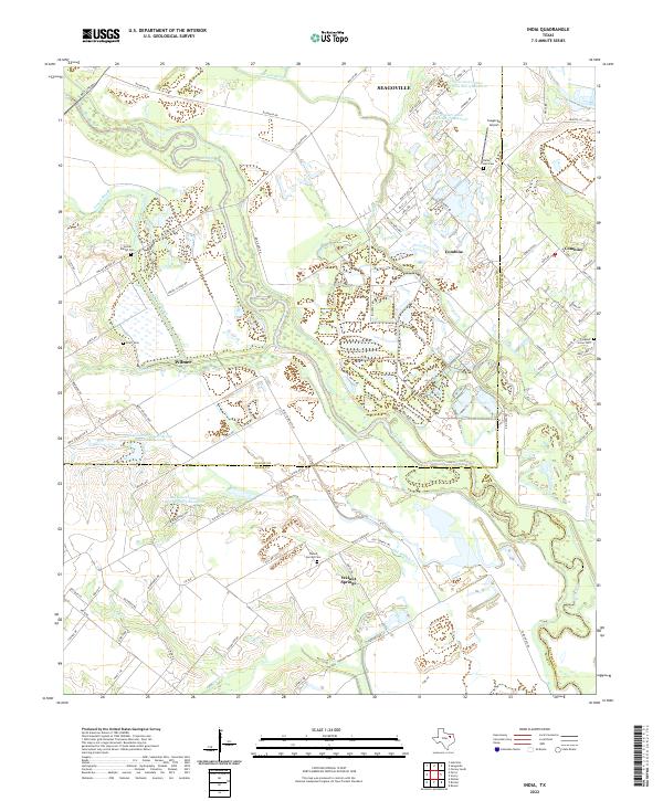
2022 India
Dallas County, TX
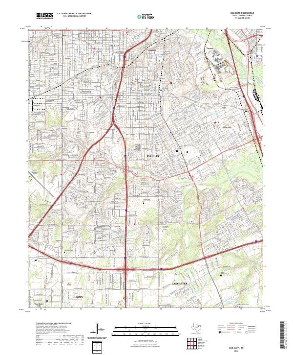
2022 Oak Cliff
Dallas County, TX
2022 White Rock Lake
Dallas County, TX