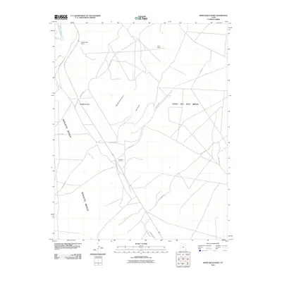
2010 Map of White Rock Point
USGS Topo · Published 2010About this map
Tselakai Dezza serves as a central reference point in this high-desert landscape, where the traditional canyon-and-mesa topography is crisscrossed by modern industrial and transit routes. The Tohonadla Oil Field is a significant feature along Indian Rte 5058, highlighting the region's energy resources. To the north, the San Juan River defines the edge of the terrain near White Rock Point.
Find a feature on this map
20 named features on this map. Tap any name to fly to it.
Don’t see what you’re looking for? This feature index may not catch every label — zoom into the map to look around manually.
Map Details
Editions of this 2010 White Rock Point Map
This is the sole edition of this map. No revisions or reprints were ever made.
Other maps of this area

1886 · Abajo
USGS Topo · 1:250,000

1892 · Abajo
USGS Topo · 1:250,000

1893 · Abajo
USGS Topo · 1:250,000

1956 · Cortez
USGS Topo · 1:250,000

1958 · Cortez
USGS Topo · 1:250,000

1959 · Cortez
USGS Topo · 1:250,000

1962 · Cortez
USGS Topo · 1:250,000

1962 · Montezuma Creek
USGS Topo · 1:62,500

1962 · Bluff
USGS Topo · 1:62,500
1962 · Bluff SW
USGS Topo · 1:24,000