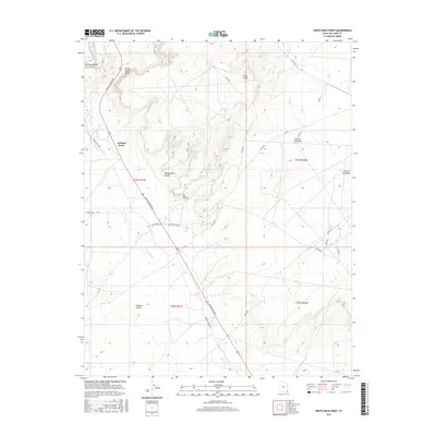
2017 Map of White Rock Point
USGS Topo · Published 2017About this map
Tselakai Dezza and the San Juan Valley define the human geography of this high desert region in the Shiprock Agency. The landscape is dominated by stark geological formations, most notably White Rock Point and the towering Casa del Eco Mesa, which overlook a network of ephemeral watercourses like Gothic Cr. The movement of people through this environment is dictated by terrain, with Mexican Water RD and Indian Rte 5058 following natural corridors between canyon systems and high benches.
Find a feature on this map
29 named features on this map. Tap any name to fly to it.
Don’t see what you’re looking for? This feature index may not catch every label — zoom into the map to look around manually.
Map Details
Editions of this 2017 White Rock Point Map
This is the sole edition of this map. No revisions or reprints were ever made.
Other maps of this area

1886 · Abajo
USGS Topo · 1:250,000

1892 · Abajo
USGS Topo · 1:250,000

1893 · Abajo
USGS Topo · 1:250,000

1956 · Cortez
USGS Topo · 1:250,000

1958 · Cortez
USGS Topo · 1:250,000

1959 · Cortez
USGS Topo · 1:250,000

1962 · Cortez
USGS Topo · 1:250,000

1962 · Montezuma Creek
USGS Topo · 1:62,500

1962 · Bluff
USGS Topo · 1:62,500
1962 · Bluff SW
USGS Topo · 1:24,000