
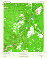
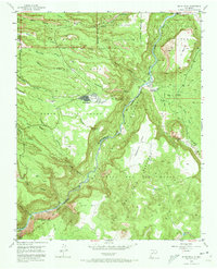
1952 Map of White Rock
USGS Topo · Published 1954About this map
The settlement of White Rock and the surrounding canyonlands appear in this survey conducted shortly after the establishment of the neighboring laboratory complex. The landscape is defined by deep incisions through the volcanic plateaus, most notably White Rock Canyon carved by the Rio Grande. This section of the river serves as a prominent boundary, separating the Ramon Vigil Grant on the west from the Caja del Rio Grant on the east.
Find a feature on this map
43 named features on this map. Tap any name to fly to it.
Don’t see what you’re looking for? This feature index may not catch every label — zoom into the map to look around manually.
Map Details
Editions of this 1952 White Rock Map
3 editions found
Other maps of this area

1892 · Santa Clara
USGS Topo · 1:125,000

1951 · Agua Fria
USGS Topo · 1:24,000

1952 · Frijoles
USGS Topo · 1:24,000

1952 · Puye
USGS Topo · 1:24,000

1952 · Montoso Peak
USGS Topo · 1:24,000

1952 · Guaje Mountain
USGS Topo · 1:24,000

1953 · Espanola
USGS Topo · 1:24,000

1953 · Cochiti Dam
USGS Topo · 1:24,000

1953 · Horcado Ranch
USGS Topo · 1:24,000

1953 · Agua Fria
USGS Topo · 1:62,500