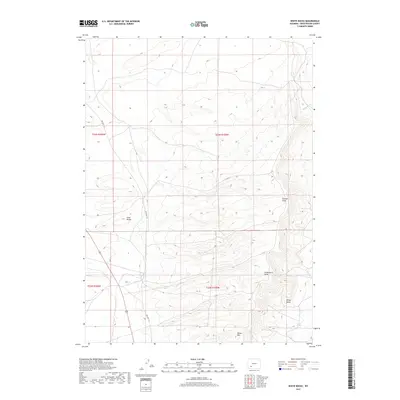
2017 Map of White Rocks
USGS Topo · Published 2017About this map
White Mtn and its steep eastern escarpment dominate this portion of the high Wyoming desert, revealing the dramatic vertical relief of Sweetwater County. The terrain transitions from the elevated plateau of the mountain down toward White Rocks and the drainage patterns of Stagecoach Draw. This environment is shaped by the relentless movement of sand, evidenced by the Sand Knolls in the west and the wide, ephemeral path of Killpecker Cr to the northeast. Human passage through this arid landscape is recorded by the alignment of Old Hwy 191, which skirts the base of the mountain. The map details a complex network of seasonal watercourses like Sixmile Draw, illustrating how water and wind continue to carve the face of the basins between the rising mesas.
Find a feature on this map
11 named features on this map. Tap any name to fly to it.
Don’t see what you’re looking for? This feature index may not catch every label — zoom into the map to look around manually.
Map Details
Editions of this 2017 White Rocks Map
This is the sole edition of this map. No revisions or reprints were ever made.
Other maps of this area

1954 · Rock Springs
USGS Topo · 1:250,000

1955 · Lander
USGS Topo · 1:250,000

1958 · Lander
USGS Topo · 1:250,000

1958 · Rock Springs
USGS Topo · 1:250,000

1958 · Essex Mountain
USGS Topo · 1:62,500

1958 · Boars Tusk
USGS Topo · 1:62,500

1961 · Lander
USGS Topo · 1:250,000

1962 · Rock Springs
USGS Topo · 1:250,000

1968 · Farson
USGS Topo · 1:24,000

1968 · Clay Buttes
USGS Topo · 1:24,000