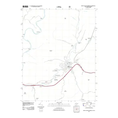
2011 Map of White Sulphur Springs
USGS Topo · Published 2011About this map
White Sulphur Springs serves as the central hub of this Greenbrier County landscape, where the confluence of recreation, aviation, and federal land management is clearly defined. The sprawling grounds of The Greenbrier Resort Golf Course and its sister courses dominate the valley floor near Wades Creek, while the National Fish Hatchery and the White Sulphur District Ranger Office reflect the region's long-standing connection to forest and wildlife conservation. To the west, the Greenbrier River carves a deep path around Greenbrier Mountain, passing the small settlements of Keister, Loopemount, and Bowes. The topography is sharply defined by high ridges like Kates Mountain and Bobs Ridge, which hem in narrow hollows and drafts such as Jericho Draft and Schuirmann Hollow. This 2011 survey captures the area's transition from the river-fed agricultural lands near Hopper to the specialized resort and infrastructure developments surrounding the Greenbrier Airport.
Find a feature on this map
51 named features on this map. Tap any name to fly to it.
Don’t see what you’re looking for? This feature index may not catch every label — zoom into the map to look around manually.
Map Details
Editions of this 2011 White Sulphur Springs Map
This is the sole edition of this map. No revisions or reprints were ever made.
Other maps of this area

1887 · Lewisburg
USGS Topo · 1:125,000

1891 · Lewisburg
USGS Topo · 1:125,000

1921 · Callaghan
USGS Topo · 1:48,000

1921 · White Sulphur Springs
USGS Topo · 1:48,000

1921 · Ronceverte
USGS Topo · 1:48,000

1923 · White Sulphur Springs
USGS Topo · 1:62,500

1923 · Ronceverte
USGS Topo · 1:62,500

1923 · Callaghan
USGS Topo · 1:62,500

1935 · White Sulphur Springs
USGS Topo · 1:62,500

1939 · White Sulphur Springs
USGS Topo · 1:62,500