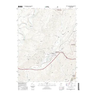
2016 Map of White Sulphur Springs
USGS Topo · Published 2016About this map
White Sulphur Springs serves as the focal point for this 2016 survey, a historic resort community defined by its proximity to natural mineral waters. The map details the complex hydrography of the region, including the White Sulphur Chalybeate Spring and Alum Springs, which historically drew travelers seeking health and recreation. The landscape is dominated by the ridges of the Allegheny Mountains, with Greenbrier Mtn and Kates Mtn flanking the settled valley.
Find a feature on this map
102 named features on this map. Tap any name to fly to it.
Don’t see what you’re looking for? This feature index may not catch every label — zoom into the map to look around manually.
Map Details
Editions of this 2016 White Sulphur Springs Map
This is the sole edition of this map. No revisions or reprints were ever made.
Other maps of this area

1887 · Lewisburg
USGS Topo · 1:125,000

1891 · Lewisburg
USGS Topo · 1:125,000

1921 · Callaghan
USGS Topo · 1:48,000

1921 · White Sulphur Springs
USGS Topo · 1:48,000

1921 · Ronceverte
USGS Topo · 1:48,000

1923 · White Sulphur Springs
USGS Topo · 1:62,500

1923 · Ronceverte
USGS Topo · 1:62,500

1923 · Callaghan
USGS Topo · 1:62,500

1935 · White Sulphur Springs
USGS Topo · 1:62,500

1939 · White Sulphur Springs
USGS Topo · 1:62,500