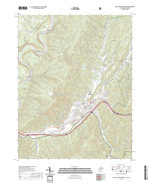
2023 Map of White Sulphur Springs
USGS Topo · Published 2023About this map
White Sulphur Springs serves as the focal point of this 2023 survey, where the resort town's famous mineral waters are marked by the White Sulphur Spring and the White Sulphur Chalybeate Spring. The landscape is defined by the high ridges of Greenbrier Mtn and Kates Mtn, which frame the Howard Creek valley. To the north, the Greenbrier River meanders past Keister and Loopemount, paralleled by the Greenbrier River Rail-Trl, a conversion that follows the historic river-level transportation corridor. Local history is anchored by sites such as the Whatcoat United Methodist Church/Cem in Mapledale and the Hillcrest Cem near the Big Draft Wilderness. The presence of the White Sulphur Springs National Fish Hatchery and numerous named springs like Sterrett Springs highlights the area's significant hydrological heritage along the border of Greenbrier County.
Find a feature on this map
75 named features on this map. Tap any name to fly to it.
Don’t see what you’re looking for? This feature index may not catch every label — zoom into the map to look around manually.
Map Details
Editions of this 2023 White Sulphur Springs Map
This is the sole edition of this map. No revisions or reprints were ever made.
Other maps of this area

1887 · Lewisburg
USGS Topo · 1:125,000

1891 · Lewisburg
USGS Topo · 1:125,000

1921 · Callaghan
USGS Topo · 1:48,000

1921 · White Sulphur Springs
USGS Topo · 1:48,000

1921 · Ronceverte
USGS Topo · 1:48,000

1923 · White Sulphur Springs
USGS Topo · 1:62,500

1923 · Ronceverte
USGS Topo · 1:62,500

1923 · Callaghan
USGS Topo · 1:62,500

1935 · White Sulphur Springs
USGS Topo · 1:62,500

1939 · White Sulphur Springs
USGS Topo · 1:62,500