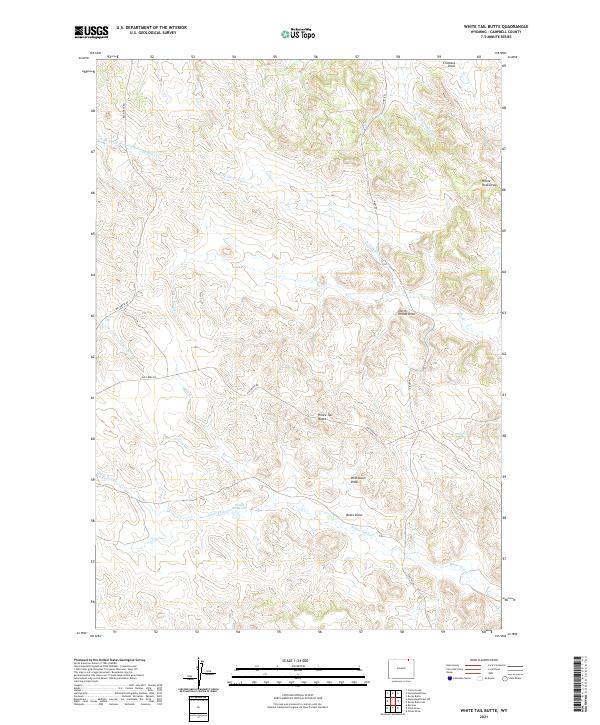
2021 Map of White Tail Butte
USGS Topo · Published 2021About this map
White Tail Butte rises as a central landmark in this high plains landscape of Campbell County, where a complex network of seasonal drainages has carved the terrain into numerous draws and divides. The map reveals a land defined by water management and ranching access, centered on the Ponch Reservoir and the winding course of White Tail Cr. The drainage patterns are intricate, with Chalk Prong Armstrong Prong Bitter Cr and N Fork Elk Cr illustrating the subtle topographic shifts characteristic of the region. A sparse network of rural routes, including Bay Horse Rd and Elk Creek Rd, provides the primary framework for movement across these township sections. The naming of specific topographic features like West Davis Draw and White Rock Draw suggests a landscape long utilized for grazing, where every canyon and water source was essential for local navigation and livestock.
Find a feature on this map
23 named features on this map. Tap any name to fly to it.
Don’t see what you’re looking for? This feature index may not catch every label — zoom into the map to look around manually.
Map Details
Editions of this 2021 White Tail Butte Map
This is the sole edition of this map. No revisions or reprints were ever made.
Other maps of this area

1954 · Gillette
USGS Topo · 1:250,000

1955 · Gillette
USGS Topo · 1:250,000

1958 · Gillette
USGS Topo · 1:250,000

1962 · Gillette
USGS Topo · 1:250,000
1971 · Homestead Draw SW
USGS Topo · 1:24,000
1971 · Pitch Draw
USGS Topo · 1:24,000
1971 · Corral Creek
USGS Topo · 1:24,000

1971 · Recluse
USGS Topo · 1:24,000
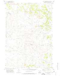
1971 · White Tail Butte
USGS Topo · 1:24,000
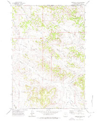
1971 · Homestead Draw
USGS Topo · 1:24,000