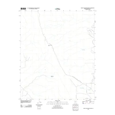
2011 Map of White Tank Mountains
USGS Topo · Published 2011About this map
Barry Goldwater Peak rises as the central landmark of this high-desert terrain within the White Tank Mountains. The survey details a network of dry watercourses, including the North Fork Cholla Wash and the White Granite Wash, which illustrate the natural drainage patterns of the range. Access into the canyons is marked by named corridors such as Waterfall Canyon Rd and Willow Canyon Rd in the northeast. While much of the area remains dominated by the mountain profile, the southeastern corner shows the reach of the valley grid with thoroughfares like Camelback Rd and W Bethany Home Rd approaching the foothills. This 2011 record preserves the intersection of protected mountain wilderness and the advancing road network of the western Maricopa County desert.
Find a feature on this map
14 named features on this map. Tap any name to fly to it.
Don’t see what you’re looking for? This feature index may not catch every label — zoom into the map to look around manually.
Map Details
Editions of this 2011 White Tank Mountains Map
This is the sole edition of this map. No revisions or reprints were ever made.
Other maps of this area
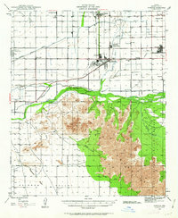
1946 · Avondale
USGS Topo · 1:62,500
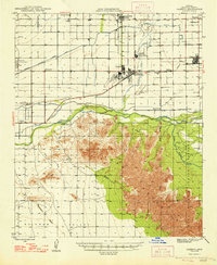
1948 · Cashion
USGS Topo · 1:62,500
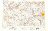
1954 · Phoenix
USGS Topo · 1:250,000
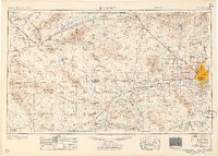
1957 · Phoenix
USGS Topo · 1:250,000
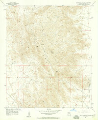
1957 · White Tank Mts. SE
USGS Topo · 1:24,000
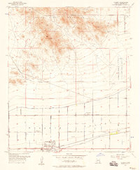
1957 · Valencia
USGS Topo · 1:24,000
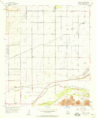
1957 · Perryville
USGS Topo · 1:24,000
1957 · White Tank Mts. NE
USGS Topo · 1:24,000
1957 · McMicken Dam
USGS Topo · 1:24,000
1957 · Waddell
USGS Topo · 1:24,000