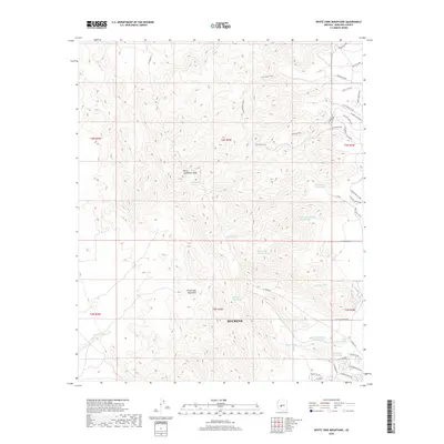
2018 Map of White Tank Mountains
USGS Topo · Published 2018About this map
Barry Goldwater Peak rises as the central landmark within the White Tank Mountains in this 2018 survey of the desert landscape north of Buckeye. The terrain is defined by an intricate network of desert drainages, including the North Fork Cholla Wash, White Tank Number Three Wash, and Waterfall Wash. These features reflect the hydraulic patterns of the Sonoran Desert, where ephemeral water flow has carved the topography over millennia.
Find a feature on this map
42 named features on this map. Tap any name to fly to it.
Don’t see what you’re looking for? This feature index may not catch every label — zoom into the map to look around manually.
Map Details
Editions of this 2018 White Tank Mountains Map
This is the sole edition of this map. No revisions or reprints were ever made.
Other maps of this area

1946 · Avondale
USGS Topo · 1:62,500

1948 · Cashion
USGS Topo · 1:62,500

1954 · Phoenix
USGS Topo · 1:250,000

1957 · Phoenix
USGS Topo · 1:250,000

1957 · White Tank Mts. SE
USGS Topo · 1:24,000

1957 · Valencia
USGS Topo · 1:24,000

1957 · Perryville
USGS Topo · 1:24,000

1957 · White Tank Mts. NE
USGS Topo · 1:24,000

1957 · McMicken Dam
USGS Topo · 1:24,000

1957 · Waddell
USGS Topo · 1:24,000