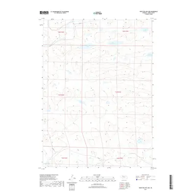
2017 Map of White Willow Lake
USGS Topo · Published 2017About this map
The N Loup River winds through the northern reaches of this landscape in the Nebraska Sandhills, defining a region where water management is dictated by the natural depressions between dunes. This 2017 survey illustrates a complex network of semi-permanent water bodies, including White Willow Lake, Red Willow Lake, and the distinctly named Speckel- Meir Lake. The presence of Calf Cr in the south and the scattered distribution of Tree Lake, Collie Lake, and Burr Lake suggest a terrain where small-scale drainage patterns are vital for the local ranching economy. Access to these remote interior sections is provided by seasonal routes like Coble Rd and Phipps Rd, which skirt the edges of the high dunes and wetlands such as Little Alkali Lake.
Find a feature on this map
18 named features on this map. Tap any name to fly to it.
Don’t see what you’re looking for? This feature index may not catch every label — zoom into the map to look around manually.
Map Details
Editions of this 2017 White Willow Lake Map
This is the sole edition of this map. No revisions or reprints were ever made.
Other maps of this area

1948 · Whitman
USGS Topo · 1:62,500

1949 · Steverson Lake
USGS Topo · 1:62,500

1950 · Whitman
USGS Topo · 1:62,500

1950 · Hire
USGS Topo · 1:62,500

1950 · Wolf Lake
USGS Topo · 1:62,500

1951 · Steverson Lake
USGS Topo · 1:62,500

1951 · Wolf Lake
USGS Topo · 1:62,500

1957 · Valentine
USGS Topo · 1:250,000

1959 · Valentine
USGS Topo · 1:250,000

1985 · Mullen
USGS Topo · 1:100,000