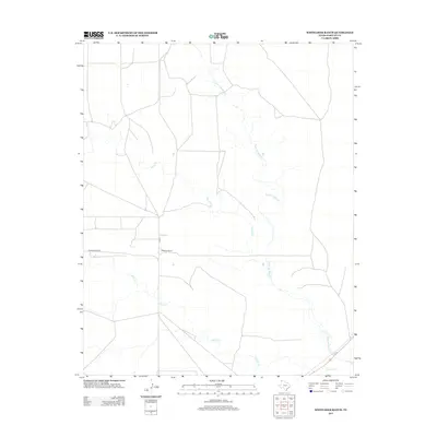
2012 Map of Whiteaker Ranch
USGS Topo · Published 2012About this map
Whiteaker Ranch serves as the namesake hub of this West Texas landscape in the early 21st century. The terrain is defined by a dendritic network of ephemeral waterways, primarily Punta de Agua Cr, which is joined by tributaries including Monia Cr and Cramer Cr. These creeks carve subtle drainage patterns across the high plains of Hartley County, illustrating the hydraulic character of the region. Transportation in this area is limited to a sparse grid of rural thoroughfares, most notably Ranch Road 3296 and the perpendicular path of Cord-6. This 2012 survey captures the spatial relationship between isolated ranching outposts and the seasonal watercourses that have historically dictated land use and settlement in the Panhandle.
Find a feature on this map
6 named features on this map. Tap any name to fly to it.
Don’t see what you’re looking for? This feature index may not catch every label — zoom into the map to look around manually.
Map Details
Editions of this 2012 Whiteaker Ranch Map
This is the sole edition of this map. No revisions or reprints were ever made.
Other maps of this area

1954 · Tucumcari
USGS Topo · 1:250,000

1958 · Tucumcari
USGS Topo · 1:250,000

1971 · Koger Ranch
USGS Topo · 1:24,000

1971 · Middle Water
USGS Topo · 1:24,000

1971 · Doyle Hill
USGS Topo · 1:24,000

1971 · Amistad SE
USGS Topo · 1:24,000

1971 · Syndicate Hills
USGS Topo · 1:24,000

1971 · Beck Ranch
USGS Topo · 1:24,000

1971 · Whiteaker Ranch
USGS Topo · 1:24,000

1971 · Spring Creek Ranch
USGS Topo · 1:24,000