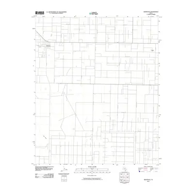
2010 Map of Whiteface
USGS Topo · Published 2010About this map
Whiteface stands as the primary hub of this Llano Estacado landscape, where a rigid grid of ranch and oil-field roads defines the human geography. The map reveals a transition from the structured town blocks of Whiteface and the smaller cluster at Coble to an expansive network of rural thoroughfares with distinctive local identifiers. To the south and east, names like Roughneck Rd, Ironman Rd, and Sampson Post Rd suggest the region's industrial and ranching heritage. The terrain is marked by ephemeral water features, most notably Lost Draw which cuts across the southwest. The systematic layout of roads such as Wildcat Rd and Horseshoe Rd illustrates how the West Texas plains were partitioned for resource extraction and agriculture in the early 21st century.
Find a feature on this map
26 named features on this map. Tap any name to fly to it.
Don’t see what you’re looking for? This feature index may not catch every label — zoom into the map to look around manually.
Map Details
Editions of this 2010 Whiteface Map
This is the sole edition of this map. No revisions or reprints were ever made.
Other maps of this area

1954 · Brownfield
USGS Topo · 1:250,000

1958 · Brownfield
USGS Topo · 1:250,000

1962 · Brownfield
USGS Topo · 1:250,000

1965 · Levelland West
USGS Topo · 1:24,000

1965 · Sundown
USGS Topo · 1:24,000

1965 · Plains 1 NE
USGS Topo · 1:24,000

1965 · Hester Ranch
USGS Topo · 1:24,000

1965 · Pettit
USGS Topo · 1:24,000

1965 · Whiteface
USGS Topo · 1:24,000

1970 · Whiteface SW
USGS Topo · 1:24,000