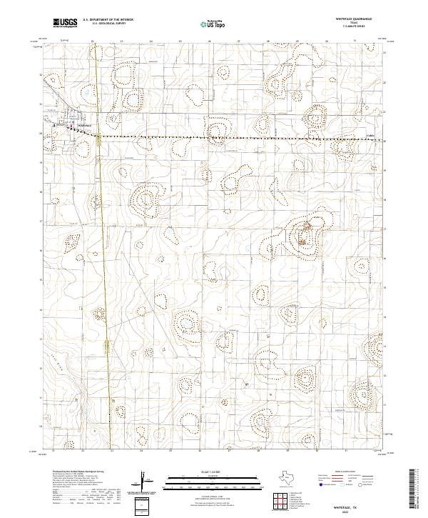
2022 Map of Whiteface
USGS Topo · Published 2022About this map
Whiteface sits at the intersection of FM 1780 and Highway 114, serving as a primary settlement on the High Plains where Cochran Co meets Hockley Co. The town's grid is clearly defined by residential streets like Arthur St and Taylor St, with the Whiteface Cem located on the western edge. This landscape is characterized by the vast, open spaces of the Llano Estacado, marked by the intermittent drainage of Lost Draw and a network of section-line roads such as Santa Fe Rd and Wildcat Rd. To the east, the community of Coble appears along N FM 303, illustrating the dispersed nature of agricultural and ranching settlements in this region. The map captures the industrial and agricultural infrastructure of the area, featuring numerous local routes like Ironman Rd and Unit Base that support the local economy.
Find a feature on this map
43 named features on this map. Tap any name to fly to it.
Don’t see what you’re looking for? This feature index may not catch every label — zoom into the map to look around manually.
Map Details
Editions of this 2022 Whiteface Map
This is the sole edition of this map. No revisions or reprints were ever made.
Other maps of this area

1954 · Brownfield
USGS Topo · 1:250,000

1958 · Brownfield
USGS Topo · 1:250,000

1962 · Brownfield
USGS Topo · 1:250,000

1965 · Levelland West
USGS Topo · 1:24,000

1965 · Sundown
USGS Topo · 1:24,000

1965 · Plains 1 NE
USGS Topo · 1:24,000

1965 · Hester Ranch
USGS Topo · 1:24,000

1965 · Pettit
USGS Topo · 1:24,000

1965 · Whiteface
USGS Topo · 1:24,000

1970 · Whiteface SW
USGS Topo · 1:24,000