
1900 Map of Whitefield
USGS Topo · Published 1900About this map
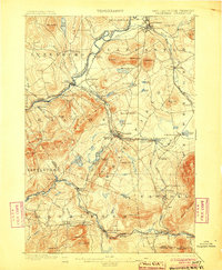
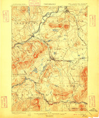
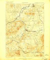
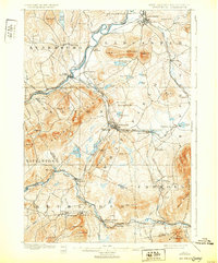
The Connecticut River forms a winding natural boundary for this White Mountains landscape, where the late nineteenth-century rail economy is on full display. At the turn of the century, this area served as a critical transportation hub, with the Maine Central R. R., Boston and Maine R. R., and Concord and Montreal R. R. all converging. This network facilitated a growing seasonal tourism industry, evidenced by landmarks like the Mount View House and Overlook House. The terrain is defined by the Ammonoosuc River valley and prominent summits such as Cherry Mountain and Agassiz Mt.. Numerous rail junctions, including Whitefield Junction and Quebec Junction, highlight the region's historical role as a gateway for both timber and travelers moving through the Whitefield and Lancaster regions.
Find a feature on this map
87 named features on this map. Tap any name to fly to it.
Don’t see what you’re looking for? This feature index may not catch every label — zoom into the map to look around manually.
Map Details
Editions of this 1900 Whitefield Map
5 editions found
Other maps of this area

1893 · Mt. Washington
USGS Topo · 1:62,500

1895 · Crawford Notch
USGS Topo · 1:62,500

1896 · Mt. Washington
USGS Topo · 1:62,500

1896 · Crawford Notch
USGS Topo · 1:62,500

1920 · Guildhall
USGS Topo · 1:62,500

1929 · Moosilauke
USGS Topo · 1:62,500

1929 · Franconia
USGS Topo · 1:62,500

1930 · Percy
USGS Topo · 1:62,500

1931 · Guildhall
USGS Topo · 1:48,000

1931 · Littleton
USGS Topo · 1:62,500