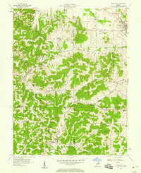
1957 Map of Whitehall
USGS Topo · Published 1966About this map
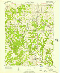
Ellettsville serves as the primary population center in the northeast corner of this Indiana landscape, situated where the limestone-rich topography of Richland and Van Buren townships meet. The map reveals a rural economy organized around family-named landmarks and small country parishes, with the borders of Owen, Greene, and Monroe counties intersecting amidst a network of narrow valleys and ridges. Watercourses like Raccoon Creek and Richland Creek dictate the placement of early settlements, while numerous small cemeteries such as Moreland Cem and Hudson Cem provide essential data for genealogists tracking local families. The presence of multiple churches, including Bethel Ch, Salem Ch, and Liberty Ch, underscores the community-centric development of the area before modern consolidation. From the heights of Mt Pleasant to the depths of Boone Cave, this survey documents the traditional road patterns and rural character of the region in the late 1950s.
Find a feature on this map
43 named features on this map. Tap any name to fly to it.
Don’t see what you’re looking for? This feature index may not catch every label — zoom into the map to look around manually.
Map Details
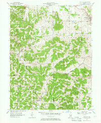
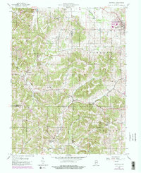
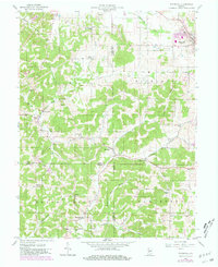
Editions of this 1957 Whitehall Map
4 editions found
Other maps of this area

1908 · Bloomington
USGS Topo · 1:48,000

1908 · Bloomfield
USGS Topo · 1:62,500

1910 · Bloomington
USGS Topo · 1:62,500

1947 · Gosport
USGS Topo · 1:24,000

1950 · Gosport
USGS Topo · 1:24,000

1953 · Indianapolis
USGS Topo · 1:250,000

1956 · Indianapolis
USGS Topo · 1:250,000
1956 · Clear Creek
USGS Topo · 1:24,000

1956 · Freedom
USGS Topo · 1:24,000
1956 · Bloomington
USGS Topo · 1:24,000