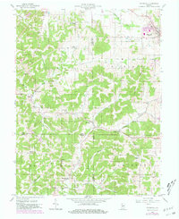
1957 Map of Whitehall
USGS Topo · Published 1981About this map
Ellettsville stands as a primary hub of activity in this 1950s landscape, positioned near the intersection of various rural roads and county boundaries. The terrain is defined by its numerous small valleys and ridges, such as Louden Ridge, which dictate the placement of small agricultural settlements like Whitehall and Freeman. The area’s spiritual and communal life is anchored by several country churches, including Little Flock Ch and Richland Ch, alongside well-documented family and community burial grounds like Hopewell Cem and Moreland Cem.
Find a feature on this map
40 named features on this map. Tap any name to fly to it.
Don’t see what you’re looking for? This feature index may not catch every label — zoom into the map to look around manually.
Map Details
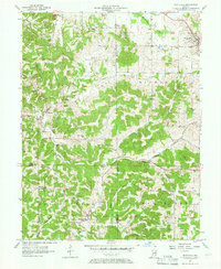
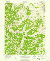
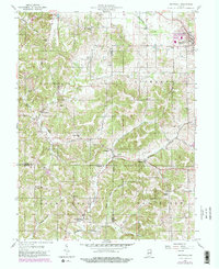
Editions of this 1957 Whitehall Map
4 editions found
Other maps of this area

1908 · Bloomington
USGS Topo · 1:48,000

1908 · Bloomfield
USGS Topo · 1:62,500

1910 · Bloomington
USGS Topo · 1:62,500

1947 · Gosport
USGS Topo · 1:24,000

1950 · Gosport
USGS Topo · 1:24,000

1953 · Indianapolis
USGS Topo · 1:250,000

1956 · Indianapolis
USGS Topo · 1:250,000
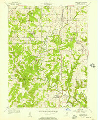
1956 · Clear Creek
USGS Topo · 1:24,000

1956 · Freedom
USGS Topo · 1:24,000
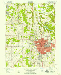
1956 · Bloomington
USGS Topo · 1:24,000