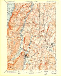
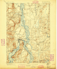
1902 Map of Whitehall
USGS Topo · Published 1902About this map
The Whitehall corridor serves as a vital transportation nexus where the Champlain Canal meets the southern waters of Lake Champlain. This 1902 edition illustrates a landscape defined by the intersection of industrial transport and difficult terrain, with the Delaware and Hudson R.R. skirting the narrow shoreline of South Bay and The Narrows. The map highlights the strategic positioning of settlements like Fair Haven and Low Hampton along the Poultney River, which forms the border between New York and Vermont.
Find a feature on this map
97 named features on this map. Tap any name to fly to it.
Don’t see what you’re looking for? This feature index may not catch every label — zoom into the map to look around manually.
Map Details
Editions of this 1902 Whitehall Map
10 editions found
1902 edition
15.91 x 19.72 inches
1905 edition
16.6 x 20.1 inches
1907 edition
16.6 x 20.1 inches
1911 edition
16.6 x 20.1 inches
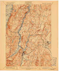
1918 edition
16.6 x 20.1 inches
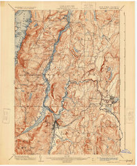
1925 edition
16.6 x 20.1 inches
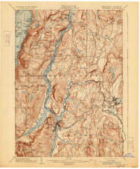
1929 edition
16.6 x 20.1 inches
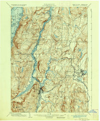
1936 edition
16.6 x 20.1 inches
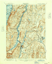
1942 edition
17 x 20.8 inches
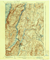
1942 edition
16.6 x 20.1 inches
Other maps of this area

1893 · Fort Ann
USGS Topo · 1:62,500
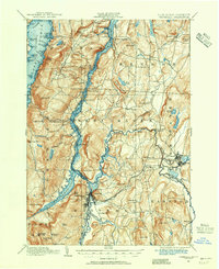
1893 · Whitehall
USGS Topo · 1:62,500
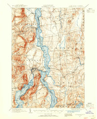
1894 · Ticonderoga
USGS Topo · 1:62,500

1894 · Pawlet
USGS Topo · 1:62,500
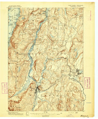
1895 · Whitehall
USGS Topo · 1:62,500

1895 · Fort Ann
USGS Topo · 1:62,500
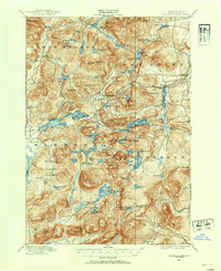
1895 · Paradox Lake
USGS Topo · 1:62,500
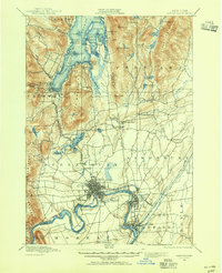
1895 · Glens Falls
USGS Topo · 1:62,500
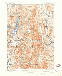
1895 · Castleton
USGS Topo · 1:62,500
1896 · Ticonderoga
USGS Topo · 1:62,500