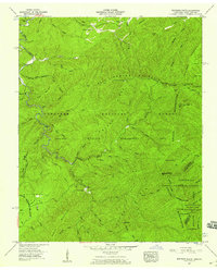
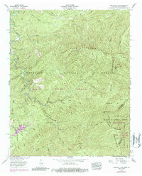
1957 Map of Whiteoak Flats
USGS Topo · Published 1959About this map
Cherokee National Forest and the Tellico Wildlife Management Area dominate this 1957 survey of the borderlands between Tennessee and North Carolina. The landscape is defined by the high ridges of the Unicoi Mountains and Citico Mountain, where human presence is marked by isolated infrastructure like the Citico Warden Station and the Cold Spring Lookout Tower. Drainage patterns are intricate, with Citico Creek and Doublecamp Creek cutting deep through the terrain. Evidence of rural community life is sparse but significant, represented by the Pleasant Grove Ch and Tallassee Sch near the northern boundary. The map captures the region before extensive modern development, showing the rugged boundary between Monroe and Graham Counties and the intersection of the Nantahala National Forest at the southeastern corner.
Find a feature on this map
74 named features on this map. Tap any name to fly to it.
Don’t see what you’re looking for? This feature index may not catch every label — zoom into the map to look around manually.
Map Details
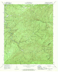
Editions of this 1957 Whiteoak Flats Map
5 editions found
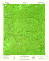
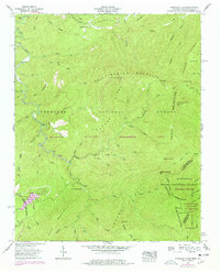
Other maps of this area

1886 · Knoxville
USGS Topo · 1:125,000

1892 · Knoxville
USGS Topo · 1:125,000

1893 · Murphy
USGS Topo · 1:125,000

1894 · Knoxville
USGS Topo · 1:125,000

1895 · Loudon
USGS Topo · 1:125,000

1895 · Knoxville
USGS Topo · 1:125,000

1901 · Knoxville
USGS Topo · 1:125,000

1914 · Murphy
USGS Topo · 1:125,000

1927 · Big Junction
USGS Topo · 1:24,000
1933 · Haw Knob
USGS Topo · 1:48,000